

Roughly 65% of the time, the satellites we depend on to watch our planet are flying blind.
Not literally, of course. They're still up there, tracing their orbits at 17,000 miles per hour. But cloud cover, nightfall, and the smoke plumes from wildfires all conspire to render optical satellites useless for stretches that add up to most of each day. For anyone tracking climate patterns, coordinating disaster relief, or—let's be frank—conducting intelligence surveillance, this isn't a minor technical hiccup. It's the Achilles heel of the entire enterprise.
Now a two-person outfit called AxionOrbital Space, barely three months out of Y Combinator's Winter 2026 cohort, thinks it's cracked the code. Their solution? Foundation models that can translate the inscrutable backscatter patterns of radar satellites into crisp, optical-style images that look like they were snapped on a clear afternoon—even when captured through storm clouds at 2 a.m.
The company rolled out its Orion model family in January, and the promise is tantalizing: uninterrupted Earth observation, regardless of what the weather gods have in mind. Whether it can deliver on that promise at production scale is another question entirely.
The Radar Riddle
Synthetic Aperture Radar satellites have been around for decades, beloved by military planners and weather geeks for their ability to image through clouds and darkness. They work by bouncing radio waves off the Earth's surface—waves that couldn't care less about atmospheric conditions or the position of the sun.
The catch? SAR imagery looks nothing like a photograph. What you get instead are grainy patterns of light and shadow that represent variations in how those radio waves bounced back. Interpreting them requires specialized training that most imagery analysts simply don't possess. One researcher I spoke with last year compared it to "reading X-rays when you went to medical school for ophthalmology."
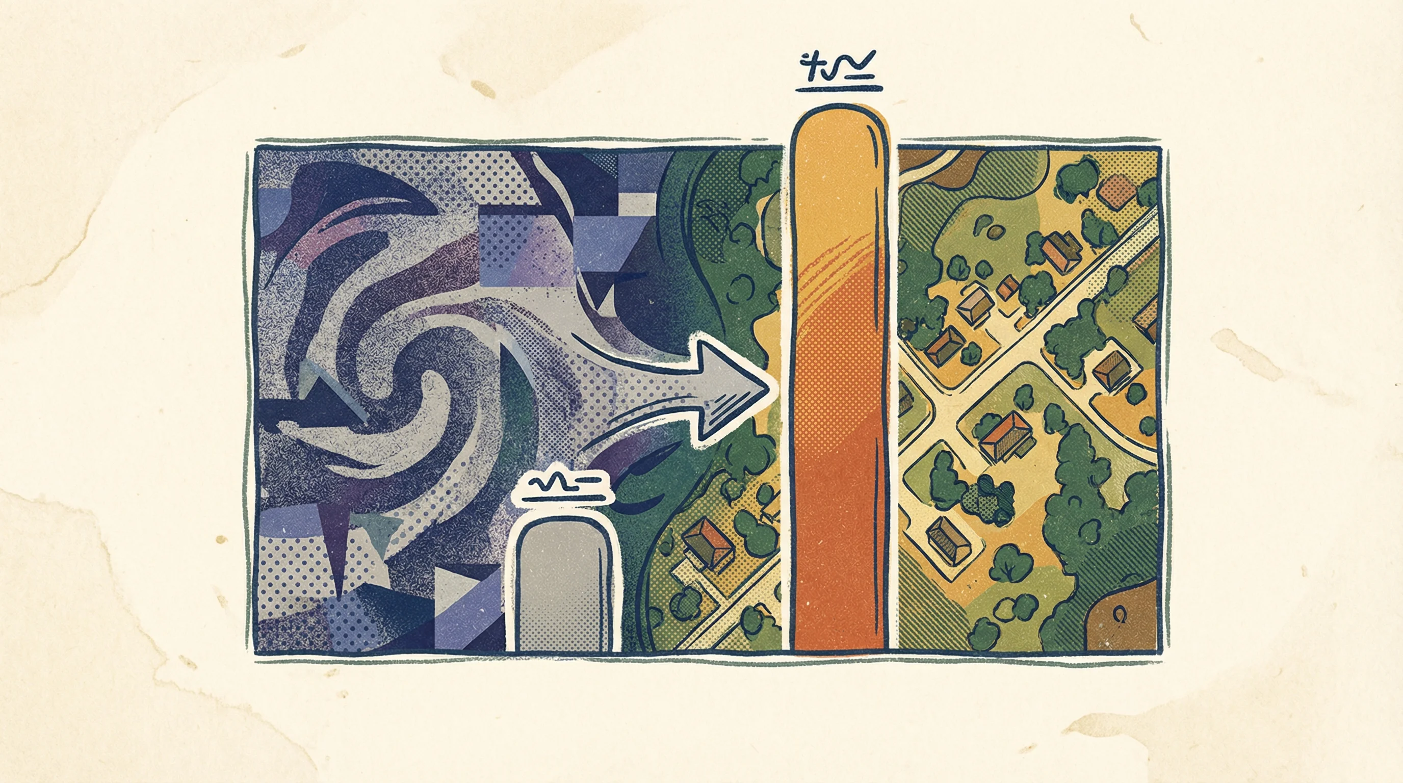
AxionOrbital's pitch is disarmingly simple: pipe in SAR data on one end, extract analysis-ready optical imagery on the other. The whole process, according to the startup's launch materials, takes 0.06 seconds per image.
They're calling it "deterministic one-step diffusion anchored to physical spatial priors," which is a mouthful. Stripped of jargon, it means the system leans on what the radar signal actually detected rather than inventing plausible-but-fictitious features to fill gaps. In the world of AI-generated imagery, hallucinations aren't just bugs—they're potentially catastrophic if you're, say, routing emergency response teams based on flawed building locations.
Benchmark Wars
AxionOrbital tested its technology on something called the MSAW benchmark, which uses SpaceNet-6 satellite data to evaluate SAR-to-optical translation. The startup reports a Fréchet Inception Distance score of 30.24—beating the previous best method, C-DiffSET from 2024, by just over 19%. Its Structural Similarity Index hit 0.60, which the company claims as a new high-water mark.
Should you care about these numbers? Perhaps. Academic benchmarks matter, but they're also carefully controlled environments. SpaceNet-6 focuses heavily on building extraction in urban settings. How the models perform across varied terrain—think dense forests, agricultural plains, or Arctic tundra—and under different atmospheric conditions remains, for now, a matter of speculation.
Two models are on offer. Hubble runs at 10-meter resolution and is labeled open source, though no public repository has materialized on AxionOrbital's sparse website yet. Orion, the flagship, delivers 0.5-meter resolution but comes with strings attached: restricted access only.
Both can deploy via API or on-premises, including air-gapped servers and even onboard satellites themselves. That last detail matters, especially for defense clients who need processing to happen inside secure perimeters where internet connections don't exist.
The customer list AxionOrbital envisions reads like a who's who of industries where timing and clarity carry price tags: defense contractors, high-frequency trading firms tracking grain inventories from orbit, agriculture monitoring services, climate researchers, disaster response coordinators. Each has wildly different requirements for latency, resolution, and data security.
The Founders
Dhenenjay Yadav, AxionOrbital's CEO, brings a pedigree that straddles India's space program and academia. He worked as a machine learning engineer at ISRO—India's space agency, which has been punching well above its weight class in recent years—and later researched reinforcement learning at the Indian Institute of Management Ahmedabad. He also built Axion Planetary MCP, an open-source tool that lets large language models analyze geospatial data, which suggests he's been circling this problem for a while.
Atharva Peshkar, the CTO, is finishing a computer science PhD at the University of Colorado Boulder while holding down a research position at Harvard's Visual Computing Group. His awards from the American Association of Physicists in Medicine focused on computer vision applications in radiation therapy—a field where precision isn't optional and hallucinations can literally kill patients. If you're building AI to interpret physical imaging data, that's not a bad credential to carry.
Still, for a two-person team, the technical claims are... ambitious. Converting radar imagery to half-meter optical resolution in real time isn't something you knock out over a long weekend. The assertion that they've solved the hallucination problem through "physically anchored priors" is intriguing, but independent validation beyond one benchmark would go a long way. Especially given that the benchmark itself skews toward building identification rather than general scene translation.
Crowded Skies

AxionOrbital isn't operating in a vacuum. The commercial SAR market has exploded over the past five years. Finland's ICEYE runs the largest commercial radar constellation and can deliver 25-centimeter resolution in certain imaging modes. Capella Space, a U.S. competitor, literally ran a marketing campaign called "I Can't Believe It's Not Optical" to hammer home how readable their SAR data could be—though "readable" still meant requiring analysts who knew what they were looking at.
Meanwhile, Microsoft's SpaceEye service and Aspia Space's ClearSky have both tackled the cloud problem by using AI to synthesize cloud-free optical images. Their approach typically blends SAR data with historical optical imagery and weather models to predict what's beneath the clouds. AxionOrbital's real-time, radar-anchored method suggests they're betting on higher fidelity and more immediate situational awareness than those prediction-based systems can offer.
There's also the academic side of the ledger. The research community has been moving fast on this front. New multimodal datasets like SOMA-1M are emerging, and the SAR-to-optical translation field is accelerating. C-DiffSET, the 2024 benchmark AxionOrbital measured itself against, uses latent diffusion models. The shift to deterministic one-step architectures represents a different design philosophy—one explicitly optimized for speed and avoiding those pesky hallucinations.
The Catch, Naturally
No customers have been announced yet. AxionOrbital's launch materials mention they're seeking introductions to defense contractors, satellite data aggregators, SAR providers, and financial firms—which is standard operating procedure for a freshly minted YC startup. Demo day pitches are one thing; production deployments with paying customers are another beast entirely.
And there are practical hurdles beyond benchmarks. Georegistration accuracy—making sure your translated optical image lines up precisely with real-world coordinates—matters enormously. So does performance on edge cases: swamps, snow cover, urban canyons with complex shadowing. Then there's computational cost when you're processing imagery for entire continents, not cherry-picked test images. And somehow all of this needs to integrate with the byzantine data pipelines that governments and satellite operators already have in place.
But here's the thing: the technical direction makes sense. Optical satellites have been handicapped by weather since the first Corona spy satellites started dropping film canisters from orbit in the 1960s. If foundation models can genuinely deliver continuous Earth observation—not 35% of the time, but actually 24/7—that's not incremental improvement. That's the kind of capability shift that redraws assumptions.
Whether two founders working out of—presumably—modest digs somewhere in the Bay Area can pull it off at scale is the bet Y Combinator just made. Given that the accelerator has backed Stripe, Airbnb, and DoorDash, their track record suggests taking that bet seriously.
Even if you keep one eyebrow raised.


