

A certain kind of vehicle has become a common sight on rural roads each harvest season: the crop insurance adjuster's pickup, rolling toward another inspection. The adjuster walks the rows, measures the damage, files the report. It's been this way for decades.
Maybe not much longer.
This January, the USDA's Risk Management Agency quietly updated its Loss Adjustment Manual with language that amounts to a regulatory turning point. For the first time, insurers can finalize certain claims using satellite imagery and weather data alone—no boots on the ground required. The fine print is specific: remote-sensed imagery must carry documented metadata, capture timestamps, parcel overlays, analytical results on file. But the door, however narrowly, is open.
The timing of the rule change wasn't lost on anyone paying attention. Just as the USDA published its updated manual, a Y Combinator-backed startup called Verdex announced it had gone live with one of the largest crop insurers in the United States. The company claims its platform now covers more than 100 million acres—roughly 11 percent of all U.S. farmland. That scale is unverified by any third party, and Verdex hasn't named the insurer publicly. Still, the number is arresting, if true.
Jad Bousselham and Evan Rankin, Verdex's founders, first built yield prediction models using satellite imagery while students at Dartmouth. Now they say they're replacing manual field inspections with what they call "real-time digital audits." Whether the technology can deliver at the scale they're claiming remains an open question. But the regulatory permission to try is new, and the market pressure to succeed is very real.
When the Math Stops Working
The U.S. crop insurance market is enormous—estimated between $48 billion and $52 billion for 2025, covering some 543 million acres in the 2024 crop year. Farmland values hit record highs in 2025, averaging $5,830 per acre for cropland, up nearly 5 percent year-over-year. Meanwhile, insured natural catastrophe losses topped $107 billion in 2025, according to Swiss Re Institute—the sixth consecutive year above that threshold.
Those numbers create a squeeze. Premiums rise, but so do adjustment costs. Verdex claims that verification consumes roughly 10 percent of global premium dollars, totaling over $5 billion annually. The figure comes from the company itself, without independent corroboration, so treat it accordingly. PlanetWatchers, a competitor in the North American crop insurance space, says its platform cuts claim-processing time by 40 to 75 percent. Even if the savings estimates vary—and they do—the unit economics are compelling enough to draw serious attention.
Satellite imaging for agriculture was valued at around $872 million in 2025. Projections have it doubling to approximately $2.34 billion by 2032. The trajectory isn't subtle.
For decades, the U.S. crop insurance system relied on human adjusters making the drive, walking the fields, hand-measuring the damage. Under the 2025 Loss Adjustment Manual, remote sensing devices could assist during farm visits, but an on-farm inspection was still mandatory. The January 2026 update changed that calculus—for qualifying scenarios, at least.
If conditions are met, adjusters can now verify harvest and acreage losses using aerial maps, satellite imagery, or "other available technologies," provided they document the source, capture date and time, and analytical methods. The shift mirrors what happened in Europe, though the EU moved faster. Starting January 1, 2024, the bloc's Area Monitoring System became fully operational, using Copernicus Sentinel data to replace many on-the-spot field inspections. By 2025, an eligibility condition in the Common Agricultural Policy framework became "monitorable"—meaning it could be verified using satellite data or geolocated photos.
The U.S. change is more incremental. Quality losses, fraud suspicions, and certain peril types still require in-person inspections. The door is open, yes, but not fully off its hinges.
Three Things That Changed
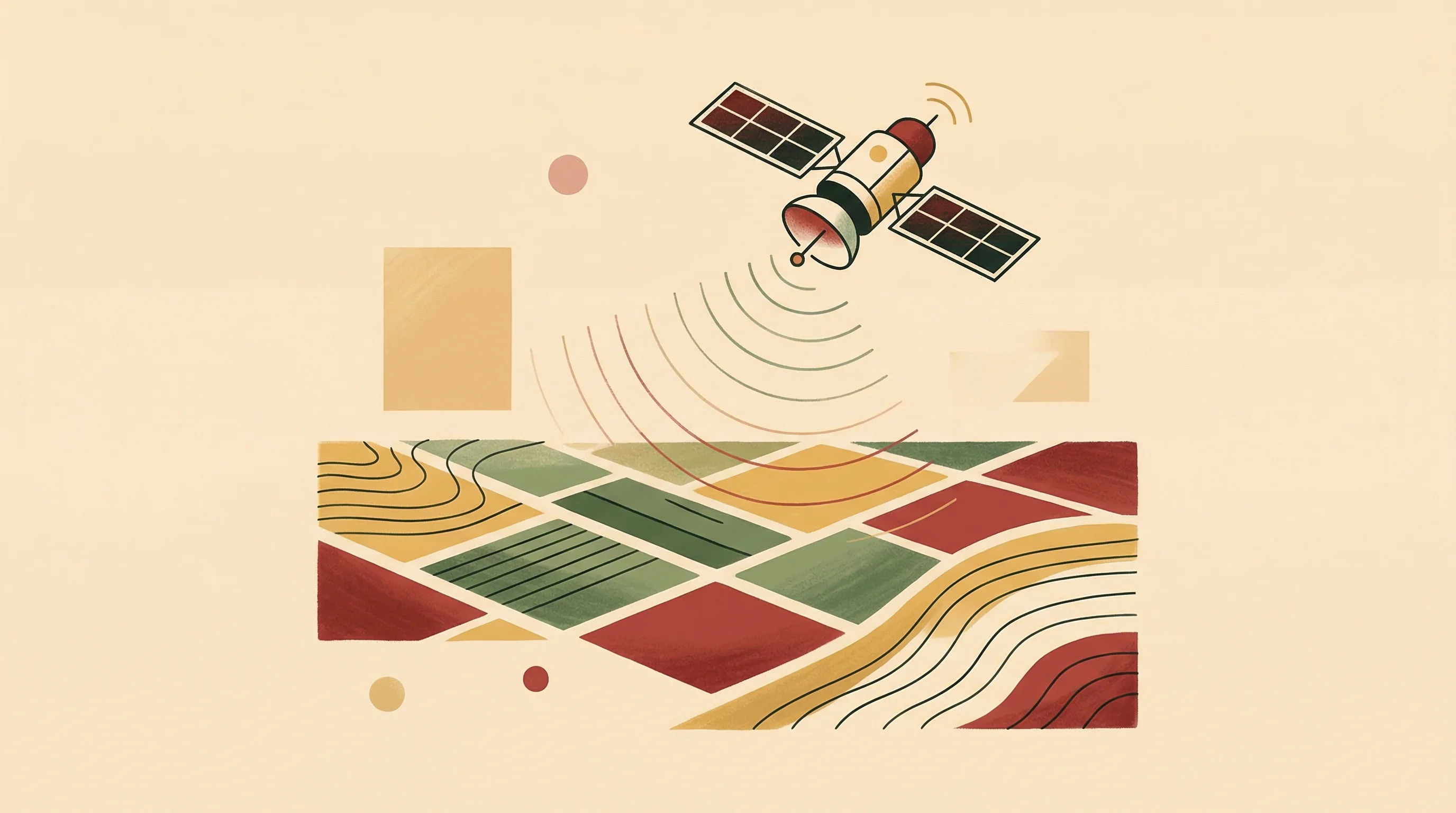
Technology doesn't shift insurance regulation by itself. But three technical developments made the USDA's January rule change plausible, perhaps even inevitable.
First, NASA's OPERA program began releasing analysis-ready Synthetic Aperture Radar products in 2024 and 2025—Radiometric Terrain Corrected backscatter and flood extent datasets derived from Sentinel-1. These products eliminated much of the preprocessing burden that had slowed enterprise adoption. They're cloud-native, standardized, documented. Regulators like that kind of thing.
Second, NASA and ISRO's NISAR satellite launched last July, carrying dual-band SAR that can observe crops through clouds, day or night. This expands the frequency and reliability of all-weather monitoring—crucial for harvest and flood verification during storm windows, when time matters most.
Third, data infrastructure improved. In February 2025, Copernicus Data Space launched a STAC (SpatioTemporal Asset Catalog) prototype, making imagery more discoverable and metadata more consistent. For audits, that matters. Regulators want to see provenance, timestamps, processing chains. The STAC prototype helps deliver that.
Economics, though, are the blunter driver. Crop insurers face rising loss adjustment expenses as catastrophic weather events increase in frequency and severity. The technology to automate parts of that process exists. The regulatory permission to use it is brand new. What happens next depends less on satellites than on whether the platforms can prove they work at scale—and whether the metadata holds up under audit.
A Crowded Field
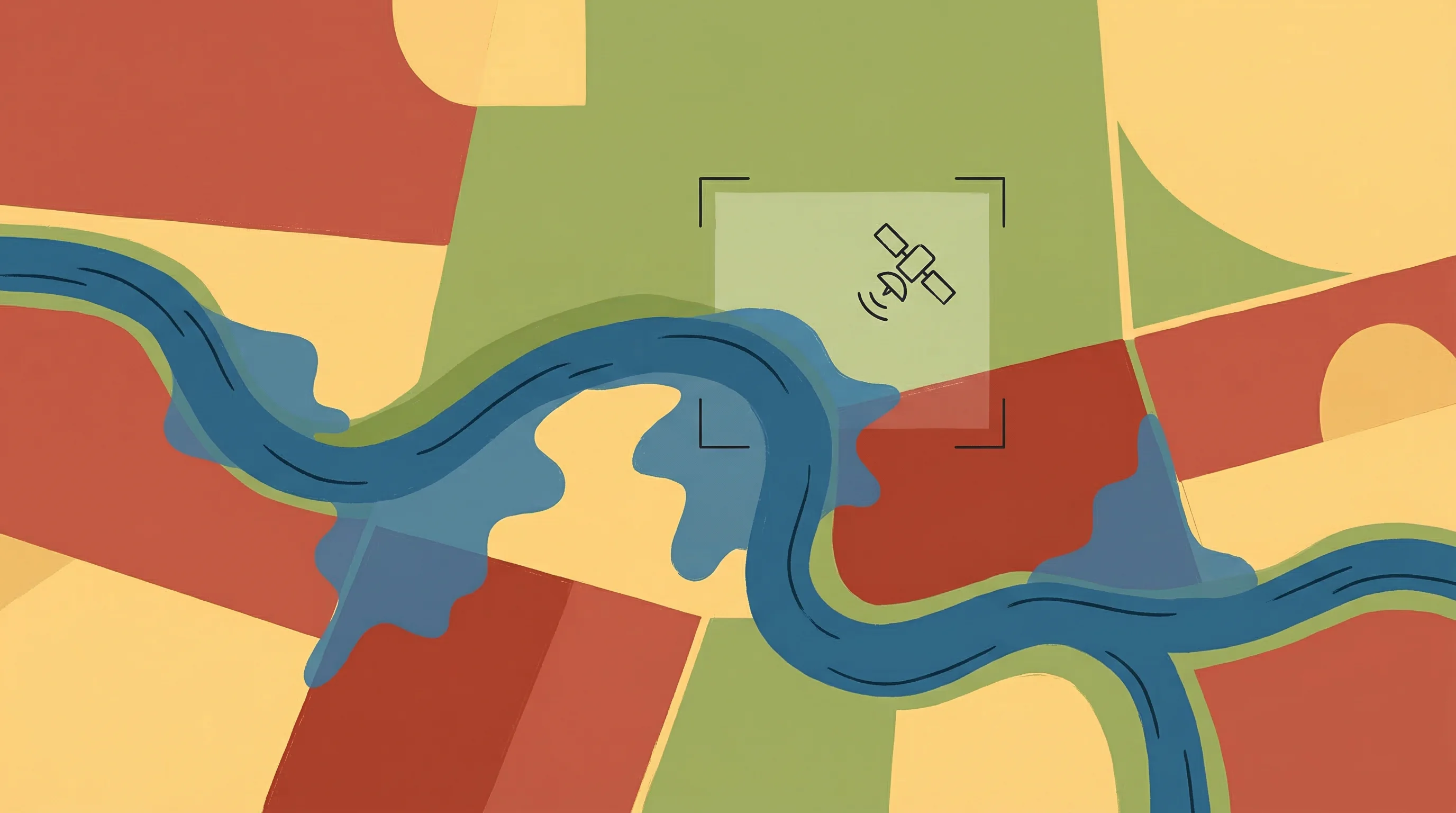
Verdex isn't operating in a vacuum. PlanetWatchers has focused on automating policy data capture and flood detection for insurers, using satellite imagery to triage claims after major flood events. The company markets itself as a time-saver for adjusters, not a replacement—though the line blurs when workflows become primarily digital.
In India, SatSure provides parcel-risk reports for agricultural lenders and insurers using satellite data, addressing similar problems in a different regulatory context. The Indian government extended its Pradhan Mantri Fasal Bima Yojana—a national crop insurance scheme—through 2025-2026 with a technology boost, including satellite-assisted yield estimation and automated weather stations. The policy-level reliance on remote sensing is explicit there.
EOSDA, which operates EOS Crop Monitoring, offers remote claims validation and index insurance products globally, though its marketing materials remain general. Regrow Ag and CIBO Technologies focus more on supply chain measurement, reporting, and verification (MRV) for Scope 3 emissions and climate-smart agriculture programs—adjacent to insurance, but serving a different compliance and certification audience.
Farmland platforms like AcreTrader and conservation monitoring tools like Upstream Tech's Lens illustrate investor appetite for objective, parcel-level data. Leading Harvest, a farmland stewardship certification program, released updated guidance last September that increasingly ties incentives to measurable, third-party-verifiable outcomes. The demand for auditable records extends beyond insurance into asset management and environmental accounting. It's all connected, in other words.
What Comes Next
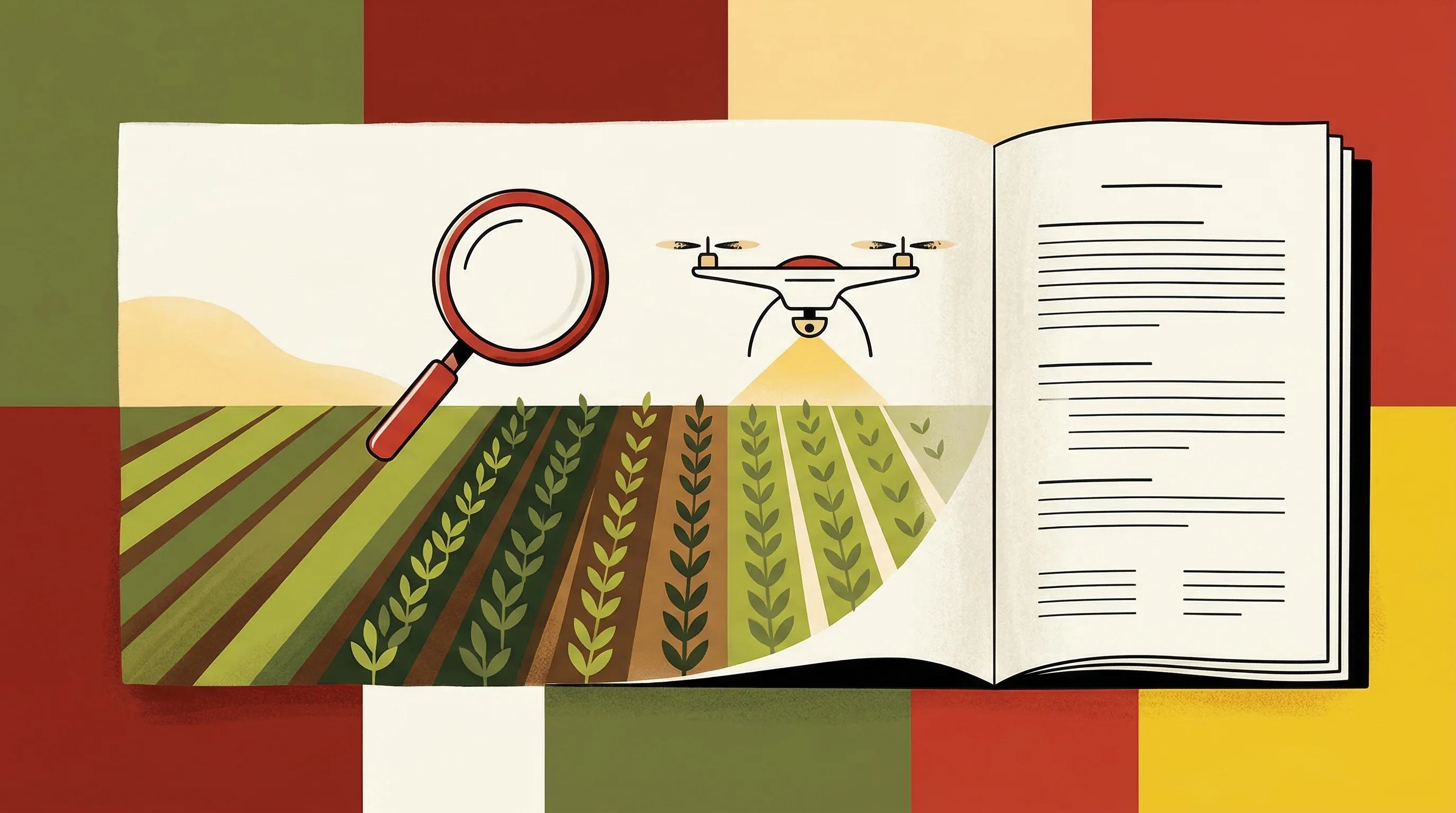
The immediate adoption trajectory depends on how aggressively Approved Insurance Providers implement the new USDA guidelines. The 2026 Loss Adjustment Manual sets a framework, but each AIP must decide which claims qualify for remote verification and which still require field visits. Audit procedures, quality assurance protocols, adjuster training—all need updating. The regulatory permission exists. The operational rollout is ongoing, and uneven.
Technology will continue to improve, of course. NISAR's routine dual-band SAR observations will enable more robust time-series analysis, expanding use cases beyond flood mapping into routine planting, harvest, and acreage validation. Machine learning models that fuse SAR and optical data, or that fill cloud gaps in optical imagery, are advancing rapidly. A February 2025 paper demonstrated gap-free optical synthesis from SAR inputs, which could further strengthen audit trails.
Challenges remain. Differentiating orchards from forests, capturing fine-scale phenology, modeling yield in heterogeneous landscapes—all improving, still difficult. An academic paper published last October highlighted out-of-distribution risks in crop yield models, important for regulator acceptance and avoiding model drift. The LAM's metadata requirements are designed to address this, but implementation will be uneven across providers.
Regulatory uncertainty outside crop insurance also tempers the broader opportunity. The SEC's climate disclosure rule, finalized in March 2024, remains stayed in litigation as of this February, with no Scope 3 emissions reporting requirement in the final version. California's greenhouse gas disclosure laws are also partially paused. Mandatory climate MRV for farmland assets is not imminent in the U.S., even if voluntary markets and reinsurers are interested.
So the near-term driver is cost, not compliance. Insured catastrophic losses aren't declining. Farmland values are rising. Adjusters are expensive. The January USDA rule change is narrow in scope but material in signal. It tells the market that satellite verification, when properly documented, is acceptable.
For a company like Verdex, claiming to cover 100 million acres through a single unnamed insurer, the challenge now is proving the platform works at that scale—and that the metadata holds up under audit. The regulatory green light is on. The operational test, one suspects, has only just begun.


