

The Idaho Department of Lands made an unusual procurement decision in September 2025. Instead of buying more fire trucks or hiring additional lookout crews, the agency signed up for a constellation of satellites that hadn't fully launched yet. The contract with OroraTech, a German startup, would blanket the state with thermal infrared imaging, promising to spot wildfires in their first few minutes rather than their first few hours.
It was a vote of confidence in a technology that, until recently, belonged almost exclusively to government science missions. Now it's become a commercial bet—and a crowded one.
Across the U.S. and Europe, a cluster of startups is launching thermal satellite constellations at a pace that would have seemed implausible half a decade ago. They're not chasing better weather forecasts or sharper Google Earth imagery. They're selling heat itself: the ability to detect a smoldering fire before it becomes a conflagration, to see crop stress two weeks before a farmer notices wilting, to map which city blocks will become lethal during the next heat dome.
The technology—long-wave and mid-wave infrared sensors paired with onboard AI—represents a sharp departure from the visible-light and radar systems that dominate commercial Earth observation. Whether it represents a sustainable business is still an open question.
Government Satellites Set the Standard. Then Got Too Slow.
Thermal Earth observation isn't new. NASA has flown infrared sensors since the Landsat program's early days. The ECOSTRESS instrument, bolted to the International Space Station since 2018, has generated elegant maps of urban heat islands and wildfire intensity. Europe's Sentinel-3 satellites dutifully track sea surface temperatures. These missions work. They're also glacial.
Government satellites typically revisit the same location every few days, sometimes weeks. Their data pipelines route through ground stations, processing centers, and distribution portals that can add hours or even days between capture and delivery. For climate scientists studying long-term temperature trends, that's fine. For a fire chief in Northern California, it's useless.
"Wildfire managers need answers in minutes," one industry observer put it bluntly. And minutes, it turns out, require a different kind of infrastructure entirely.
The remote sensing services market has been growing steadily—revenue reached about $3.5 billion for FY2024, a small slice of the broader satellite industry but one projected to nearly double within the decade. Within that, thermal infrared is carving out a niche driven by three distinct use cases: wildfire detection, precision agriculture (specifically irrigation management), and urban heat mapping for climate adaptation.
Each application tolerates different trade-offs. Wildfire detection prizes speed above all. Agriculture can wait a day but needs field-level resolution. Urban planners want building-by-building detail. No single satellite design can optimize for all three, which is why the market is fragmenting before it's even fully formed.
Small Satellites, Big Ambitions
What changed the economics was miniaturization. Thermal infrared detectors used to require cryogenic cooling systems—bulky, power-hungry, expensive. Modern microbolometers, built with vanadium oxide or amorphous silicon, detect long-wave infrared without the deep freeze. They're compact enough to fit on satellites weighing tens of kilograms rather than tons, and cheap enough that losing one in a launch failure doesn't bankrupt the company.
More importantly, these satellites can think. Edge computing hardware—NVIDIA Jetson modules and similar processors—now flies on spacecraft the size of a shoebox. The European Space Agency's Φsat-2 mission is demonstrating onboard AI filtering capabilities, a proof of concept that startups have since productized. Thermal anomalies trigger alerts before the satellite even phones home to a ground station.
The regulatory environment helped, too, at least in the United States. NOAA overhauled its commercial remote sensing licensing framework a few years back, slashing approval times and replacing permanent operating restrictions with time-limited conditions. For startups launching novel sensors, this meant faster deployment and less guesswork about what regulators might forbid.
Export controls haven't disappeared—thermal cameras and infrared focal plane arrays still fall under scrutiny, as a 2026 enforcement action against Teledyne FLIR reminded everyone—but the door is open. Just watch where you step.
Climate disclosure rules, though tangled in litigation and legislative delays, have added another push. The SEC's climate rule remains stayed; California's disclosure laws hit pause partway through implementation; Europe's sustainability directive keeps revising its timeline. Yet beneath the regulatory churn, the demand signal is clear: companies and governments want asset-level climate risk data, and they want it often enough to matter.
The Contenders
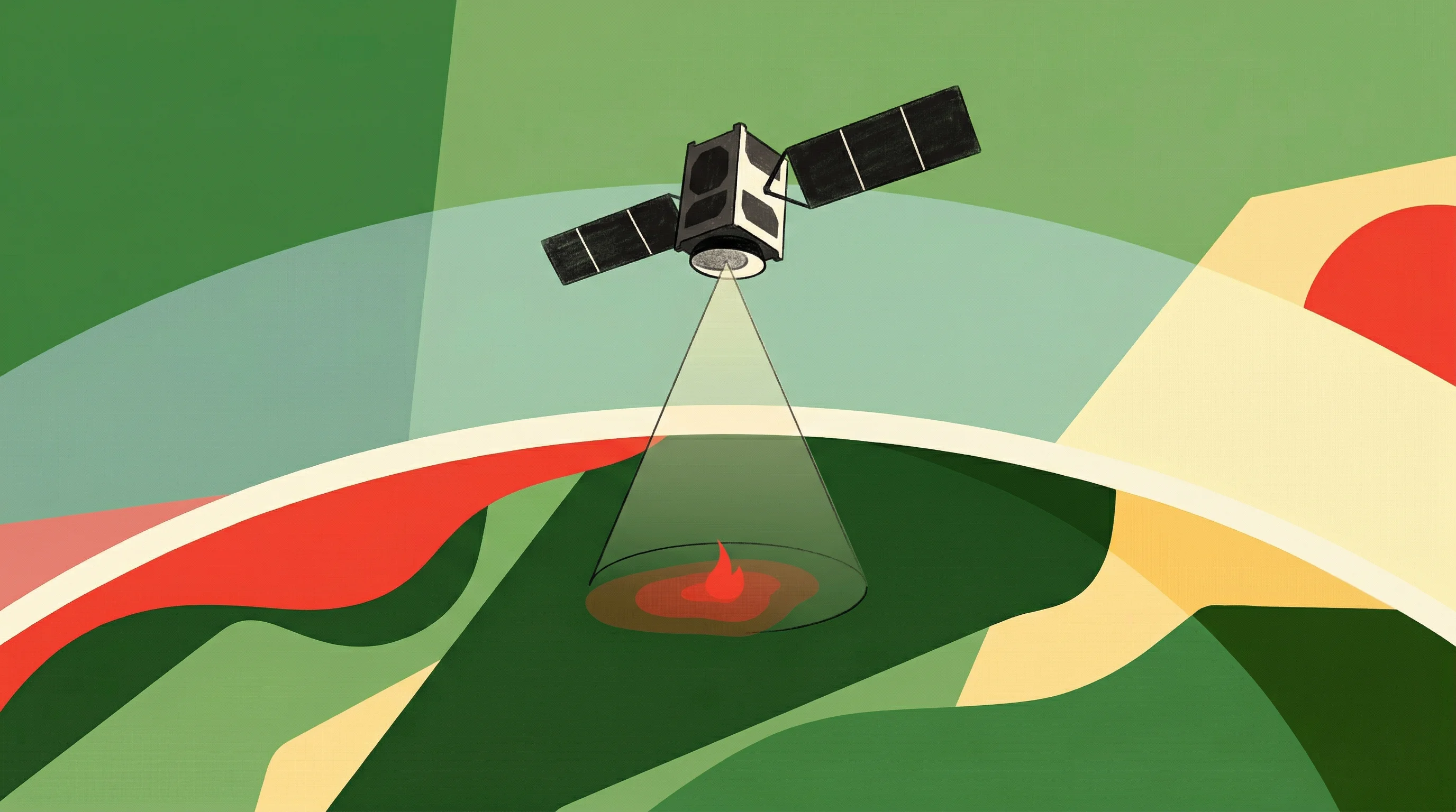
OroraTech moved first and fast. The Munich-based startup launched eight wildfire-monitoring nanosatellites in March 2025 aboard a Rocket Lab Electron—what it called the world's first dedicated thermal constellation for fire detection. Onboard AI scans for heat signatures that match ignition events; the company has claimed detection times as short as three minutes, though real-world conditions presumably add variability.
Idaho was an early convert. So were insurers. In July 2025, OroraTech embedded its real-time wildfire intelligence into Opterrix's insurance risk platform, a partnership that signals property and casualty underwriters are treating thermal satellite data as operational input, not science fiction. OroraTech also landed a role on WildFireSat, a Canadian government mission, through a partnership with Spire Global Canada.
Wildfire monitoring, in other words, looks like OroraTech's to lose.
SatVu—formerly Satellite Vu—took a harder road. The UK company's HotSat-1 pathfinder satellite failed shortly after launch, an expensive setback in an industry where launch windows don't wait for second chances. But SatVu lined up replacements, HotSat-2 and HotSat-3, and raised $41 million in February 2026 with backing that included the NATO Innovation Fund.
The pitch is different: "activity intelligence." SatVu is targeting mid-wave infrared imagery at 3.5-meter resolution, sharp enough to distinguish individual buildings. The applications lean toward defense and infrastructure—monitoring energy facilities, detecting building heat loss for efficiency retrofits, assessing industrial operations from orbit. The European Space Agency awarded SatVu a Copernicus Contributing Mission contract worth up to €3 million; Japan's IHI signed on as a partner.
Whether meter-scale thermal imaging justifies the premium pricing SatVu will need to charge is an open question. But the company is betting that resolution, not speed, is the differentiator.
Hydrosat is all about agriculture. The U.S.-Luxembourg startup launched VanZyl-1 in August 2024 and closed a €51 million Series B in January 2026. It acquired IrriWatch, a Dutch precision irrigation platform, in June 2023, and now delivers daily evapotranspiration estimates to farmers—crucial data in California's Central Valley, where groundwater allocations are tightening under the Sustainable Groundwater Management Act.
CEO Pieter Fossel likes to point out that thermal land-surface temperature is "a leading indicator one to two weeks before you'll see stress show up in the vegetation index." Traditional optical satellites show crop stress only after leaves yellow or wilt. Thermal infrared catches the physiological response earlier: reduced transpiration, rising canopy temperature, the plant's silent distress signal. For a farmer deciding whether to irrigate, that head start can mean the difference between salvaging a crop and watching it fail.
California groundwater verification reports have referenced Hydrosat's methods. That kind of regulatory traction matters.
constellr, based in Germany, is playing a different game: sovereign capability. The company launched its second satellite in June 2025 and raised €37 million in Series A funding in February 2026. Publicly, constellr cites land-surface temperature products at roughly 30 meters today, with a roadmap toward sub-5-meter resolution—numbers that track closely with SatVu's ambitions, if not its current performance.
A multi-year contract with the German Aerospace Center (DLR) and positioning as a European alternative to U.S. providers signals where constellr sees its customer base: governments and defense agencies wary of dependence on non-European data streams. The company calls its model "Constellation as a Service," allowing customers to task satellites for specific areas rather than buying imagery off the shelf. It's a defensible niche, if a narrow one.
Aistech Space, out of Spain, has the most audacious plan: 48 satellites by 2030. The company disclosed €8.5 million in Series B funding in June 2025 and launched its first commercial "Hydra" satellites in January 2026. Six satellites in orbit by year's end is the target. Whether Aistech can fund and sustain a constellation that large remains to be seen, but the intent is clear—compete on revisit frequency and blanket global coverage.
Albedo takes a different orbital path. The U.S. startup's Clarity-1 satellite, launched in March 2025, flies in very low Earth orbit and captures mid-wave infrared alongside high-resolution visible imagery. VLEO trades altitude for resolution—less distance means sharper images at lower cost—but it also means more atmospheric drag and shorter satellite lifespans. Albedo's focus on defense and nighttime intelligence applications suggests the company is optimizing for government customers rather than civilian commodity data.
What Wins?
The next couple of years will sort out which business models survive. Differentiation comes down to four variables: latency, resolution, revisit rate, and analytics. Speed matters for wildfire response. Resolution commands premium pricing for defense and infrastructure monitoring. Revisit rate wins agricultural customers who need daily updates. Analytics—turning raw temperature into actionable insight—might matter most of all.
Hydrosat's daily evapotranspiration product is already operational, a benchmark competitors will need to match. Daily 10-meter land-surface temperature estimates, once considered impossible, are now achievable through machine learning that fuses thermal, optical, and radar data across time. Researchers demonstrated weakly supervised generative fusion and physics-guided deep learning methods recently; the algorithms are maturing as fast as the hardware.
Urban heat applications introduce complications. Land-surface temperature isn't the same as human heat exposure—a rooftop's infrared signature doesn't directly translate to the thermal stress a pedestrian feels two stories below. Heat researchers have been cautioning city planners about this distinction, but the satellite data is improving fast enough that the gap may narrow.
On the demand side, insurers are the obvious early customers. Swiss Re and Munich Re have flagged wildfires as leading loss drivers in recent catastrophe reports. Asset-level thermal intelligence for underwriting, verification, and real-time peril monitoring is moving from pilot projects to procurement lines. Agricultural enterprises facing water restrictions need proof of efficient irrigation. Cities under heat-action mandates need to identify vulnerable neighborhoods block by block.
Defense and intelligence agencies will pay for tasking, rapid revisit, and guaranteed access—attributes that favor companies like constellr and Albedo with explicit government partnerships.
Government missions, meanwhile, will continue to anchor the free data baseline. The TRISHNA mission, a joint European-Indian thermal and shortwave venture, is slated for launch in the coming years. The Copernicus Land Surface Temperature Monitoring mission targets field-scale evapotranspiration sometime around 2028. NASA's Landsat Next, planned for the next decade, includes additional thermal infrared bands and faster revisit rates.
These missions raise the floor. They force commercial operators to justify subscriptions with demonstrably faster updates, sharper resolution, or tailored analytics that government satellites don't provide.
The Bet
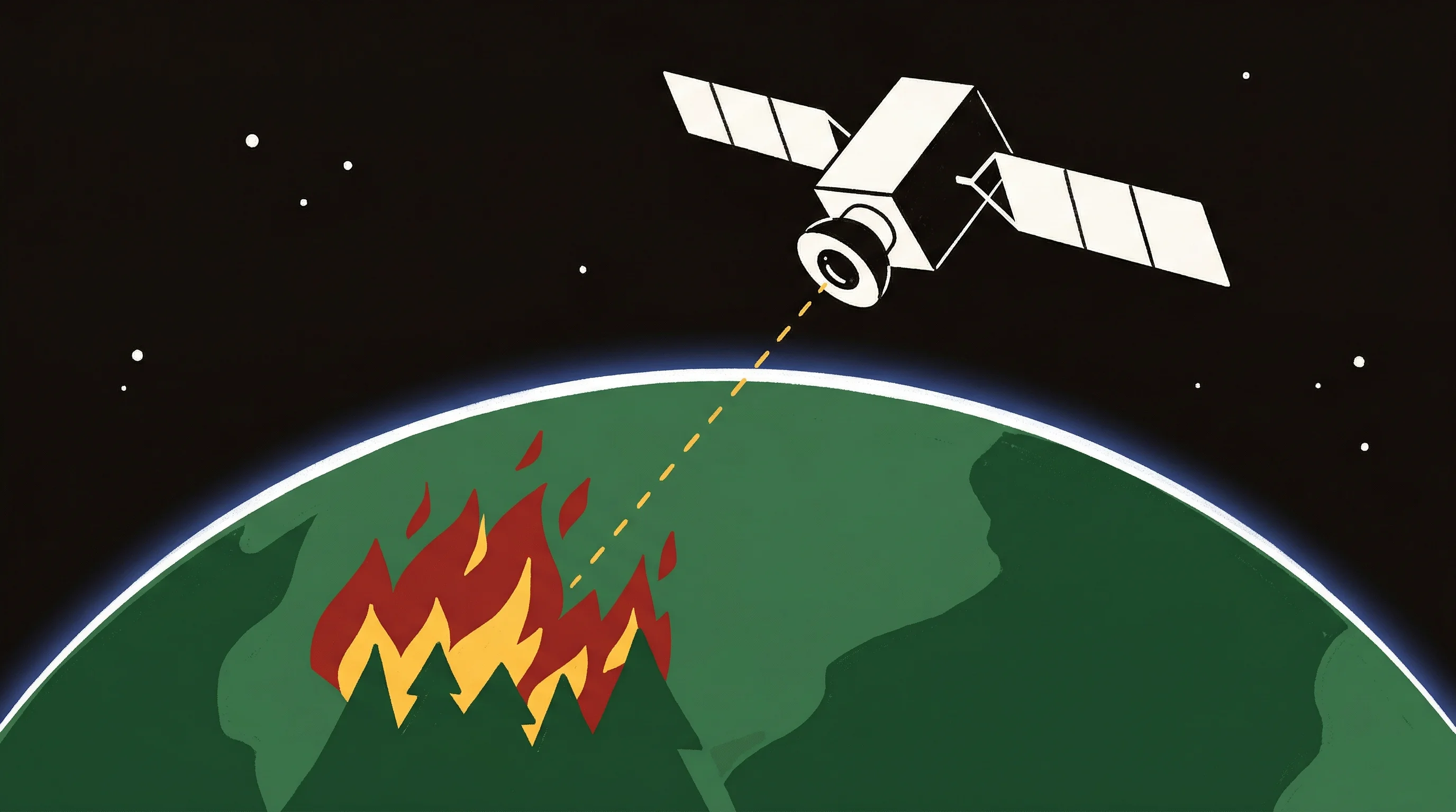
Perhaps what's striking is how quickly thermal satellites moved from speculative to operational. Contracts are signed. Satellites are launching—sometimes failing, but launching again. The insurance industry tallied exceptional wildfire losses recently, and no one expects next year to run cooler.
The wildcard is whether the market fragments or consolidates. Wildfire monitoring could become OroraTech's franchise. Agriculture might split between Hydrosat's daily ET model and broader platforms. Urban heat and building audits could favor SatVu's meter-scale approach. Defense customers will likely hedge, supporting multiple providers to avoid dependence on any single constellation.
Or maybe one of these companies figures out how to be good enough at everything—fast enough for fires, sharp enough for buildings, frequent enough for farms—and the rest become acquisition targets or cautionary tales.
What's certain is the technology works, the demand exists, and the capital is there. Whether it adds up to a sustainable industry or a niche that consolidates into a few survivors depends on execution from here. The race isn't to prove thermal satellites matter. It's to prove which ones matter most.


