

On the afternoon Hurricane Ian made landfall in Florida, emergency responders faced a problem as old as meteorology itself: they couldn't see what they most needed to see. Storm clouds blanketed the entire region. Optical satellites, for all their spectacular imagery capable of reading license plates from space, were essentially useless—staring at the tops of clouds while the ground beneath remained invisible.
It's a constraint that sounds almost quaint until you understand its scale. At any moment, clouds obscure roughly two-thirds of Earth's surface. Over oceans—where illegal fishing fleets slip between territorial waters, where oil tankers queue at congested ports, where the next hurricane gathers strength—less than 10% of the sky sits completely clear. Factor in darkness (half the planet, always), and you start to appreciate why the $5 billion commercial satellite imagery industry has, for much of its existence, been partially blind.
The workaround has existed for decades, though most people outside national security circles have never heard of it. Synthetic aperture radar—SAR, in the inevitable acronym—uses active microwave pulses that punch through clouds, operate day and night, and see through smoke and haze. But there's been a catch, and it's a big one. SAR images look nothing like the photographs we're trained to interpret. They're grayscale backscatter maps, speckled with electronic noise, requiring the kind of specialized expertise usually acquired through years of graduate work or military training.
That translation barrier kept SAR relegated to niche applications—oil spill monitoring, ice sheet tracking, the occasional classified mission—despite advantages so obvious they seemed almost unfair. Why settle for a satellite that works only in daylight and clear weather when you could have one that works always?
Now, something has shifted. Foundation models trained on millions of satellite images are beginning to bridge that gap, translating radar backscatter into something approaching optical imagery in fractions of a second. It's early—the technology carries risks and limitations that industry insiders acknowledge with varying degrees of candor—but the implications ripple across domains as diverse as catastrophe insurance, fisheries enforcement, and commodity trading.
Hardware in the Sky
The commercial SAR market barely existed five years ago. Today it's entering what venture capitalists might generously call a "mature growth phase," assuming you ignore the cash burn rates and the fact that several companies remain unprofitable.
ICEYE, a Finnish company operating what it claims is the largest commercial SAR constellation, launched multiple satellites last year alone and introduced what it calls its Gen4 platform. Resolution, the company says, now reaches 16 to 25 centimeters depending on imaging mode—good enough to distinguish individual vehicles in a parking lot. The company targets launches of 20-plus satellites annually and focuses heavily on catastrophe response and defense applications, which is where the actual money lives.
Capella Space, based in San Francisco, pushed sub-0.25-meter resolution with its 2025 Acadia series and secured contracts with NASA's Commercial Smallsat Data Acquisition program, the Air Force Research Laboratory (a roughly $15 million award, though precise figures remain classified), and the Defense Innovation Unit. Umbra, another California outfit, advanced to Stage III of the National Reconnaissance Office's Strategic Commercial Enhancements program in December 2024, with contract extensions running through mid-2026 alongside Capella and ICEYE.
Government programs proceed on parallel tracks. Europe's Copernicus Sentinel-1C launched last December aboard Vega-C, restoring C-band capacity with enhanced maritime features after the previous spacecraft reached end-of-life. NASA and India's ISRO got their massive NISAR satellite—a dual-band L/S-band SAR platform the size of a small car—off the pad in July 2025. It's now ramping up science operations after completing antenna deployment. With 12-day global coverage, NISAR represents the most capable civilian SAR mission to date, though good luck getting military analysts to confirm or deny how it compares to classified assets.
All this hardware generates data flow measured in petabytes. Sentinel-1 data lives free and open on Amazon Web Services in cloud-optimized formats, accessible through standards that make interoperability possible if not exactly simple. Umbra publishes open data samples at 16-25 centimeter resolution—a transparency move that doubles as marketing. Japan's ALOS-2 PALSAR-2 delivers L-band imagery at one-to-three-meter spotlight resolution. The raw material for all-weather Earth observation exists at unprecedented scale, which creates its own problems.
Why Now?
Three things explain the sudden momentum, though like most overnight successes, this one took decades.
First, constellation economics fundamentally changed. ICEYE deployed five satellites in a single January 2025 launch. Regulatory tailwinds helped—NOAA removed remaining temporary restrictions from U.S. X-band SAR licenses in 2024, lifting operational constraints that had slowed commercial product development. Persistent revisit rates now approach one-to-three hours in key theaters, making SAR competitive with optical constellations for time-sensitive applications. When you can guarantee coverage every two hours regardless of weather, customers start rethinking their workflows.
Second, AI infrastructure matured enough to make multimodal geospatial learning practical at scale, though "practical" might overstate things. NASA and IBM released Prithvi-EO-2.0, a foundation model trained on 4.2 million Harmonized Landsat-Sentinel samples with 300 million and 600 million parameter variants. The model supports SAR as a modality and performs well on standardized benchmarks—disaster mapping, agricultural monitoring, ecosystem assessment. ESA's Φ-lab leads something called the PhilEO initiative, advocating for what they somewhat ambitiously describe as "ChatGPT-style tools for Earth observation." Joint ESA-NASA workshops are scheduled for May to coordinate foundation model development for climate applications.
Academic datasets have proliferated to support this work: SSL4EO-S12, SEN12MS, SOMA-1M—the naming conventions suggest a field still finding its footing. These datasets, combined with open benchmarks like GEO-Bench and REOBench (which tests robustness under corruption, because nothing in remote sensing ever works perfectly), give researchers standardized evaluation frameworks. Whether those benchmarks translate to real-world performance remains a subject of vigorous debate, usually behind closed doors.
Third, cloud-native data infrastructure eliminated friction. STAC catalogs—SpatioTemporal Asset Catalogs, not that anyone says the full name—make Sentinel-1 products discoverable across multiple providers. NASA's OPERA initiative publishes terrain-corrected SAR backscatter on AWS. Google Earth Engine integrates Sentinel-1 with automated processing pipelines. The barriers to accessing and analyzing SAR data have dropped from weeks of specialized preprocessing to API calls, assuming you know which API to call.
From Theory to Practice
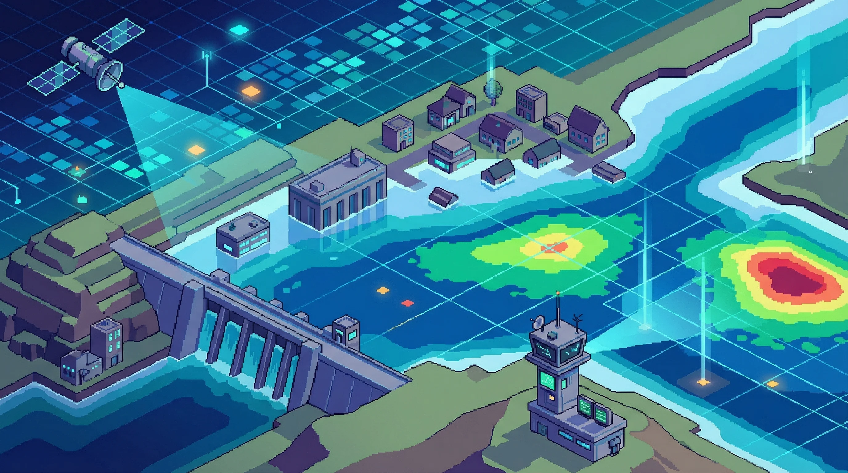
Operational deployments tell the real story, across domains different enough to suggest broad applicability or spectacular overreach, depending on your perspective.
ICEYE, working with partners including New Light Technologies and Bana Solutions, delivered near-real-time flood extent and depth maps to FEMA within 24 hours of events in Kentucky, Alaska, Puerto Rico, and during Hurricane Ian. These products guided search-and-rescue prioritization when optical satellites remained blind under storm clouds. The partnership extends to reinsurers like MAPFRE RE, where flood analytics inform underwriting decisions worth hundreds of millions of dollars. No insurer says this publicly, but pricing models increasingly incorporate SAR-derived flood risk assessments.
Global Fishing Watch combined Sentinel-1 SAR data with AI to reveal something environmental groups suspected but couldn't prove at scale: roughly 75% of industrial fishing vessels operate without public Automatic Identification System tracking. The so-called "dark fleets." The organization published open SAR vessel detection datasets, and Capella has since added automated vessel classification to its product suite. For coast guards and enforcement agencies—particularly in developing nations lacking extensive patrol capacity—this matters enormously. You can't enforce fishing regulations or sanctions compliance against vessels you can't see.
Ursa Space, a company most people have never heard of, measures oil storage levels across 20,000-plus tanks representing 6.6 billion barrels of global capacity. The technique exploits SAR's ability to detect millimeter-scale changes in floating-roof tank heights—tiny vertical movements that indicate filling or draining. Traders use these weekly global inventories to anticipate supply-demand imbalances ahead of official government statistics, which lag by weeks and cover only certain geographies. The data feeds macro signals that quietly move energy markets.
These aren't academic demonstrations. They're production systems where weather-independent observation creates measurable business value or saves lives, though companies remain understandably cagey about pricing and margins.
The Translation Problem
Translating SAR to optical imagery using diffusion models or generative adversarial networks produces visually compelling results. Recent approaches report strong benchmark scores—Fréchet Inception Distance around 30, Structural Similarity Index near 0.60, numbers that mean something specific to computer vision researchers and very little to everyone else. But analytic fidelity remains a concern understated in most vendor marketing materials.
These models can hallucinate features that look plausible but don't correspond to physical reality. A road that isn't there. A building with the wrong footprint. For visualization and rapid triage, that's acceptable. For decision-grade analysis in insurance underwriting or military targeting, it very much is not.
Robustness benchmarks underscore the problem. REOBench shows foundation model performance can drop more than 20% under certain corruptions—speckle noise, incidence angle variations, seasonal changes. Vision-language models demonstrate better resilience on some tasks, though the field is still working through how to build models that maintain accuracy when confronted with sensor differences or domain shifts between training and deployment conditions. This is the kind of technical detail that gets glossed over in funding announcements and press releases.
Market Dynamics
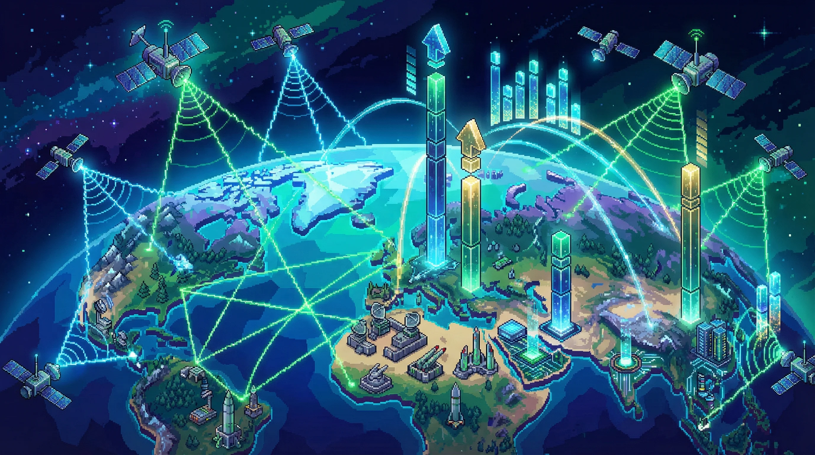
Novaspace estimates the commercial Earth observation market at approximately $5 billion in 2024, growing beyond $8 billion by 2033, with defense contracts and high-end products as primary drivers. SAR-specific market sizing varies widely depending on methodology—analysts admit privately that hard numbers are difficult because so much activity occurs behind classification walls—but directionally everything points to compound annual growth rates in the mid-single-to-mid-teens through 2033.
Competition will likely stratify. Public programs—Sentinel-1C now operational, Sentinel-1D following, NISAR ramping up—provide the free, global baseline that underpins open research and foundation model training. Commercial providers like ICEYE, Capella, and Umbra differentiate on resolution, latency, analytics APIs, and persistent revisit over specific regions. Defense customers pay premium prices; everyone else gets what's left over.
Meanwhile, startups position around specific gaps. AxionOrbital, a Y Combinator Winter 2026 batch company founded by ex-ISRO engineer Dhenenjay Yadav and CU Boulder PhD Atharva Peshkar, claims 0.06-second inference on their Orion model for SAR-to-optical translation. Whether that translates to venture returns remains to be seen—Earth observation is littered with technically impressive companies that discovered remote sensing customers don't pay software multiples.
The shift from selling images to selling insights continues, perhaps accelerates. ICEYE delivers flood extents and depths, not backscatter coefficients. Capella provides vessel classifications, not amplitude returns. Ursa Space sells oil inventory estimates, not SAR scenes. This productization trend will intensify as foundation models make it possible to extract structured intelligence without requiring every customer to employ in-house SAR specialists, though that puts companies in direct competition with their own customers' internal teams.
Standards and Plumbing
Standards matter here, possibly more than the technology. STAC adoption by Copernicus Data Space Ecosystem, recognition by NASA and the Open Geospatial Consortium, and cloud-native formats ensure interoperability. As multimodal foundation models fuse SAR with optical, elevation, and climate reanalysis data, the plumbing that connects these sources becomes critical infrastructure. Boring, essential, infrastructure.
Policy shapes the pace. The U.S. licensing regime has grown more permissive since NOAA's 2020 rule overhaul and 2023 removal of most SAR operating restrictions. The EU's free-and-open Copernicus policy sustains the data commons that makes open research possible. International workshops—joint ESA-NASA foundation model sessions scheduled for May—signal coordination rather than fragmentation, though cynic might note these are the same agencies that spent decades jealously guarding their respective turfs.
But governance questions loom larger as capabilities improve. Dark fleet detection serves environmental protection and fisheries management, but the same technology enables enforcement operations that raise privacy and dual-use concerns no one has figured out how to resolve. Responsible AI frameworks remain, to put it gently, underdeveloped. Recent workshops featured those topics prominently; concrete policies did not emerge.
What Comes Next
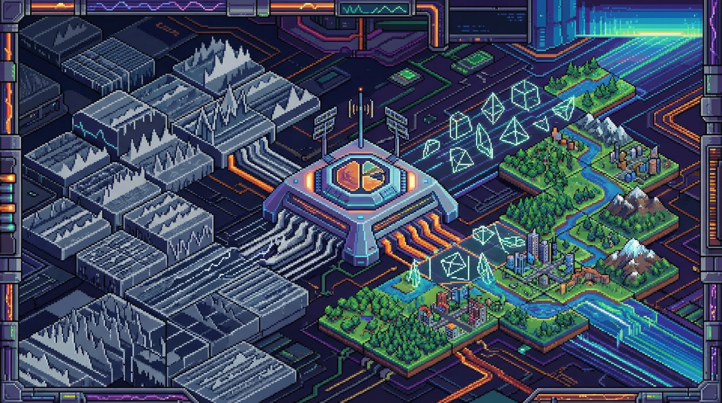
The technical roadmap points toward tighter integration, though predictions in this field have a poor track record. Direct SAR feature extraction will likely prove more reliable than translated optical imagery for analytic applications—fusion representations that preserve SAR's physical information while making it interpretable. Translation models remain useful for visualization and for integrating SAR into legacy workflows expecting optical-format inputs, but decision-grade systems will probably work closer to raw data.
Persistent revisit rates under one hour will become table stakes for defense and catastrophe response, driving continued constellation expansion that may or may not prove economically sustainable. Foundation models will consolidate around a few open baselines—Prithvi-EO-2.0, derivatives—and proprietary variants differentiated by training data, latency, or vertical focus. The usual pattern.
The interpretability gap that kept SAR niche for decades is closing, not because radar imagery got easier to read but because AI learned to speak both languages. Whether that proves sufficient remains an open question.
What it means, practically: the blind spots aren't going away. Clouds and darkness are physics. But the ability to see through them is becoming routine rather than exceptional. Whether tracking deforestation in the Amazon, monitoring ice sheet dynamics in Antarctica, or assessing typhoon damage across the Philippines, the question shifts from "can you observe continuously" to "can your infrastructure handle the flood of data that continuous observation produces."
Most organizations, it turns out, cannot. Which suggests the market opportunity might be less about sensors in orbit and more about the systems on the ground that make sense of what those sensors see. Perhaps that's where the real business lies—not in launching satellites, but in teaching the world to read what they're saying.


