

Two-thirds of the planet wears a veil at any moment. Clouds, according to NASA's reckoning, obscure roughly 67% of Earth's surface on a given day. For the satellite industry—which has spent decades and hundreds of millions of dollars per launch perfecting optical cameras in space—this simple meteorological fact has been an expensive, maddening constraint.
Wildfires burn beneath smoke. Floods spread under storm systems. Disasters unfold at night. And the satellites overhead, for all their precision optics and billion-dollar engineering, can only wait for the weather to cooperate.
That may be changing faster than the industry expected.
A cluster of AI researchers and startups now claim they can translate synthetic aperture radar imagery—the all-weather, day-night technology that's worked for decades but never quite caught on—into optical-quality views that anyone can interpret. If the technology delivers on even half its promise, it could upend the economics of a market that research firm Precedence Research estimates will reach $15.85 billion by 2035.
The pitch is seductive. SAR satellites work through clouds, through darkness, through smoke and haze. They always have—it's basic physics. Microwave wavelengths don't care about illumination. But SAR images look strange to most eyes: speckled, grayscale patterns that require specialized training to parse. Now AI foundation models are being positioned as a kind of Rosetta Stone, converting those alien backscatter patterns into familiar optical views that climate scientists, insurance adjusters, and defense analysts can immediately use.
Whether this translation layer proves reliable at scale, or whether it introduces new problems while solving old ones, will likely define Earth observation's next decade.
The Technology That Always Worked (Just Not for Most People)
SAR has never lacked technical capability. ICEYE, the Finnish-American satellite operator, launched 22 satellites in 2025 alone, bringing its constellation to 62 by year's end. Capella Space operates at least five Acadia satellites delivering commercial data at 0.5 to 1.2 meter resolution through NASA's Commercial Smallsat Data Acquisition program. Umbra advertises products down to 16 centimeters—resolution enabled in part by NOAA's 2023 licensing reforms that lifted most restrictive operating conditions.
The problem was never capability. It was adoption.
When Brazil's Rio Grande do Sul region flooded in July 2025, ICEYE delivered near-real-time SAR flood maps to government responders. Effective, certainly. Yet optical imagery remains the default language of Earth observation, the format that integrates seamlessly into existing workflows, that regulators and insurance adjusters instinctively understand without additional training.
This interpretability gap has historically confined SAR to niche applications despite its technical superiority in challenging conditions. The market knew SAR could see through clouds. Convincing customers to learn a new visual vocabulary? That proved harder.
Enter the AI Translators
AxionOrbital Space represents the current wave in concentrated form: two founders, Y Combinator's Winter 2026 batch, an audacious technical claim. The San Francisco startup says its ORION model converts SAR backscatter to high-resolution optical imagery using one-step deterministic diffusion, citing metrics of FID 30.24 and SSIM 0.60 against the C-DiffSET baseline on the MSAW benchmark, with 0.06 second inference latency.
Public funding details remain scarce as of this writing. The company has not published independent third-party technical evaluations or customer case studies. What it has articulated is an ambitious vision: "replace passive optical satellites as the primary mode of EO," making SAR the "global default" at one-hundredth the cost while reducing low Earth orbit congestion through "fewer, more capable sensors."
Bold words from a team of two. CEO Dhenenjay Yadav, formerly a machine learning engineer at ISRO, and CTO Atharva Peshkar, who holds a PhD in computer science from CU Boulder, are betting that their approach can crack a problem the industry has struggled with for years.
Whether AxionOrbital specifically succeeds matters less than the broader momentum. CrossEarth-SAR, described in a March 2026 arXiv preprint as the "first billion-scale SAR vision FM," employs physics-guided sparse mixture-of-experts for domain-generalizable segmentation. OceanSAR-2, published in January 2026, presents itself as a second-generation SAR foundation model for universal ocean feature extraction. THOR, detailed in a January 2026 paper, unifies Sentinel-1, Sentinel-2, and Sentinel-3 data at native resolutions in a single multimodal architecture.
This isn't fringe research. Academic groups at ESA and NASA have convened multiple workshops through 2024 and 2025 specifically on AI foundation models for Earth observation. The European Centre for Medium-Range Weather Forecasts made its AIFS AI forecasting system operational in February 2025, with a version 2 upgrade reportedly planned for mid-2026. IBM Research published region-specific flood segmentation work combining SAR and optical through Prithvi models at ICLR 2025.
Operational AI integration in geospatial workflows, in other words, has moved beyond proof-of-concept.
The Gap Between Lab and Field
Technical approaches vary widely. Some methods lean on latent diffusion models with confidence-guided object generation, like the C-DiffSET framework from late 2024 that remains a common baseline. Others fuse SAR and optical through multimodal similarity attention networks. ClearSKY markets SAR-aided cloud removal as "Cloudless Sentinel-2," producing cloud-free composites through AI fusion. ICEYE partnered with SATIM to bundle imagery with AI-powered detections and classifications in September 2025.
Researchers, notably, emphasize uncertainty quantification. The community remains acutely aware of hallucination risks—the possibility that AI-generated optical views might introduce features not actually present in the scene. Several recent papers explicitly incorporate physics-guided losses, confidence masks, or diffusion-based uncertainty estimates to address this. Practitioners quietly note that visual fidelity metrics can lag on difficult scenes. Human-in-the-loop review, they stress, remains essential for high-stakes applications.
Translation: don't bet your disaster response solely on the AI output just yet.
NASA's NISAR mission offers a potential data windfall. The joint NASA-ISRO project launched July 30, 2025, and released its first radar images by September. A Mississippi Delta image published in January 2026 highlighted cloud-penetrating capability. Calibrated data releases were expected to scale through early 2026, potentially providing a massive open dataset for foundation model training.
Meanwhile, Copernicus continues its free and open data policy. The Copernicus Data Space Ecosystem migration through 2023 to 2025 created accessible archives that underpin many academic pretraining efforts. The Copernicus-FM framework, described in a March 2025 paper, built on the Copernicus-Pretrain dataset with 18.7 million aligned images.
Open data. Public benchmarks. Academic momentum. Classic ingredients for a technology transition—assuming the fundamentals hold.
The Money Starts Moving
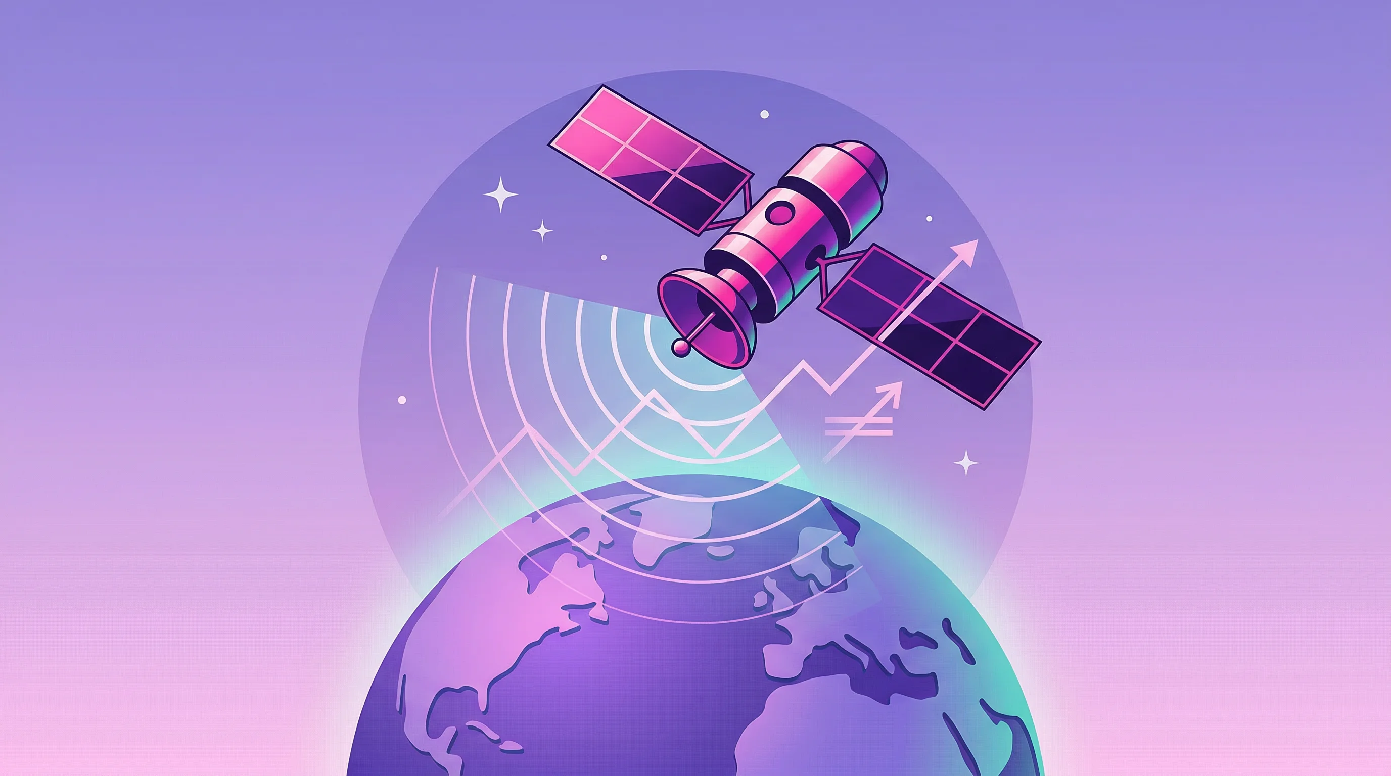
Commercial SAR operators are securing contracts that extend well into the next decade, a signal that government customers at least believe in the all-weather premise.
Germany awarded a roughly €1.7 billion SAR data services contract in December 2025 to an ICEYE-Rheinmetall joint venture for a program called SPOCK. The deal signals strong European sovereign intelligence, surveillance, and reconnaissance demand through 2030. The U.S. National Reconnaissance Office extended commercial radar contracts to Capella, ICEYE US, and Umbra in December 2025, adding 15.5 months to existing agreements under the Strategic Commercial Enhancements program.
Not small sums. Not short timelines.
Synspective secured 10 additional Electron launches with Rocket Lab in September 2025, following seven prior missions. Airbus announced in February 2025 that it would manufacture Oberon SAR satellites for the UK Ministry of Defence, and tapped Synspective's SAR network for expanded imaging access in February 2026. The United Arab Emirates launched Etihad-SAT in March 2025, adding another all-weather capability to the regional mix.
Insurance and disaster response represent the other major demand pillar. ICEYE has maintained FEMA partnerships since 2021 and analyzed Hurricane Helene in 2024. A July 2025 partnership with MAPFRE RE formalized reinsurance workflows. NASA's Disasters Response Coordination System used Sentinel-1 SAR during severe U.S. storms in April 2025, integrating flood mapping tools that work through cloud cover.
NOAA issued a request for information in March 2025 on commercial satellite environmental data for fiscal years 2026 through 2032—a signal that broader U.S. government procurement of commercial Earth observation, including SAR, may expand beyond defense and intelligence agencies.
The contracts provide revenue visibility. Whether they translate into broad commercial adoption is a different question.
Regulation Pulls in Two Directions
The EU AI Act's general-purpose AI obligations took effect August 2, 2025. Transparency enforcement begins August 2, 2026, with further requirements stepping in through 2027. Foundation model developers placing products on the European market after August 2025 must provide transparency documentation, model cards detailing limitations, safety evaluations, and copyright policies.
For companies generating synthetic optical imagery from SAR, this means explicit provenance tracking and uncertainty quantification aren't optional features. They're compliance necessities.
The U.S. regulatory environment moved in the opposite direction for satellite licensing. NOAA's 2020 final rule liberalized remote sensing approvals, and subsequent 2023 updates removed many operating conditions, shortening average license processing to 14 days. That shift enabled higher-resolution SAR commercialization—Umbra's public sale of 16-centimeter imagery followed the restriction lifts.
What these divergent regulatory paths share, perhaps surprisingly, is an emphasis on accountability and verifiability. Whether through EU transparency mandates or U.S. defense procurement standards, customers deploying AI-translated SAR imagery need audit trails. Several ESA and NASA workshop discussions in 2025 highlighted the need for external benchmarking against public baselines with reproducible protocols.
The SpaceNet-6 MSAW dataset from 2020 remains a common benchmark for all-weather building extraction and SAR-to-optical translation. Which suggests, perhaps, that the field needs updated evaluation frameworks that reflect current model capabilities.
The Edge Accelerates
Edge AI deployment is compressing latency across the stack. Planet announced NVIDIA Jetson integration for its Pelican-2 satellites in June 2024, enabling onboard processing. A December 2025 demonstration reportedly put a geospatial foundation model inference engine in orbit for the first time, according to a research preprint. AWS expanded its Ground Station as a Service partner program in January 2026, while a Space Compass-Microsoft collaboration in April 2025 demonstrated 98% downlink volume reduction through orbital AI processing.
The convergence of on-orbit processing, cloud-native ground infrastructure, and multimodal fusion models promises sub-hour latency for SAR-to-optical products. ECMWF's operational AI forecasting system demonstrates how weather foundation models can enhance tasking and intelligence pipelines. OroraTech's thermal infrared wildfire constellation, launched in March 2025, targets afternoon and nighttime coverage gaps that optical satellites miss. BlackSky delivered AI-enabled analytics from its Gen-3 very high-resolution imagery within three weeks of a March 2025 launch.
Different sensing modalities—SAR, optical, hyperspectral, thermal, RF geolocation—are being unified in single foundation model architectures. Pixxel deployed six hyperspectral Fireflies satellites by late 2025. GHGSat operates satellites for methane and CO2 emissions monitoring. HawkEye 360 secured U.S. Navy contract renewals in December 2025 for Indo-Pacific maritime domain awareness and announced a European Ministry of Defence electronic warfare services contract in March 2026.
Twenty-four-hour Earth observation is technically feasible. The question isn't if anymore.
It's whether the AI translation layers prove reliable enough at scale, whether regulatory frameworks balance innovation and accountability, and whether the market develops sufficient literacy to differentiate hype from validated capability.
What the Forecasts Suggest
Market projections vary in specifics but agree on direction. Precedence Research estimates the Earth observation satellite market at $7.10 billion in 2025, growing to $15.85 billion by 2035 at an 8.36% compound annual growth rate. Grand View Research projects $7.24 billion by 2030. Exactitude Consultancy forecasts the broader satellite data services market reaching $24.5 billion by 2034, with SAR representing roughly 25% of recent demand.
Those projections assume continued defense and sovereign ISR spending, expanded insurance and climate risk applications, and gradual enterprise adoption as AI makes SAR-derived products more accessible. Germany's multi-year SPOCK program sets a procurement floor through 2030. U.S. intelligence contracts provide revenue visibility.
The open question is whether foundation models can unlock the broader commercial market that SAR has always theoretically addressed but rarely captured.
ESA's FutureEO initiative and emphasis on high-performance computing and AI for Earth observation suggest institutional support will persist. NASA's continued investment in commercial data acquisitions and workshop convening indicates American agencies see value in the multimodal foundation model approach.
For founders building in this space, the opportunity sits at the intersection of improving AI translation reliability, navigating bifurcated regulatory regimes, and proving concrete ROI in workflows that historically defaulted to optical-only stacks. Investors are watching whether startups can differentiate technically beyond research papers, secure design wins with SAR constellation operators, and demonstrate demand from customers willing to pay for continuous monitoring rather than occasional clear-sky snapshots.
The Clouds Remain

The first on-orbit geospatial foundation model demonstration happened in 2025, according to available research. Operational deployments will define the next few years.
What becomes clear, talking to researchers and investors and constellation operators, is that the technology has reached an inflection point. Not necessarily because any single model has proven itself at scale. But because enough pieces—open datasets, government contracts, regulatory clarity, on-orbit processing—are aligning simultaneously.
SAR has worked through clouds and darkness for decades. The industry just couldn't convince most customers to learn its visual language. If AI foundation models can truly translate that language into something universally readable, the economics of Earth observation shift fundamentally. Fewer satellites needed. Lower costs. Continuous monitoring regardless of weather or time of day.
That's the pitch, anyway. Whether it delivers—whether synthetic optical imagery proves reliable enough to stake decisions on, whether hallucination risks can be contained, whether customers actually change their buying behavior—will unfold over the next several years.
The clouds, at least, aren't going anywhere. After decades of working around them, the satellite industry may finally be learning to see through.
Or it's building a very sophisticated new set of tools for seeing things that aren't quite there.
Time, and customer adoption curves, will clarify which.


