

On a spring morning in April, a small Washington defense-tech company closed a funding round most startups would trumpet from the rooftops. Rhea Space Activity raised roughly $6 million—modest by venture standards, perhaps, but enough to accelerate production of a technology the Pentagon increasingly needs: a way to navigate when GPS goes dark.
The timing wasn't accidental. Across Europe and allied airspace, radio-frequency jamming incidents have surged—documented by aviation safety groups and regional airline associations—leaving commercial jets and military aircraft scrambling for alternatives to satellite positioning systems that have underpinned navigation for decades. Rhea's answer? Look up—way up—and let the stars and orbiting satellites do the work.
Founded in 2018 by Dr. Shawn Usman, an astrophysicist who spent more than a decade in the U.S. intelligence community, Rhea adapts deep-space optical navigation techniques—originally developed for NASA missions probing the outer reaches of the solar system—to terrestrial military operations. The April 16 Series A, disclosed without a lead investor or valuation, drew a constellation of backers: Boston Global (BG) Space Tech Investors, Iron Prairie Ventures, Blackbird Capital Group, Purdue Research Foundation, New Mexico Vintage Fund, SpaceFund, and Abo Ventures. Iron Prairie had first backed the company in November 2023; SpaceFund's relationship traces back to 2021. CB Insights lists an unattributed April 2025 round with AzurX participation; the amount and structure remain undisclosed publicly.
A Problem Hiding in Plain Sight
The vulnerability of GPS—formally the Global Navigation Satellite System—has been an open secret in defense circles for years. But recent incidents have thrust the issue into sharper relief.
In May 2024, Finnair rerouted flights near Estonia after persistent GPS interference, publicly attributed to Russian electronic warfare. By September 2025, an aircraft carrying the European Commission President encountered jamming severe enough to prompt documented NATO concerns about electronic warfare threats. A June 2025 report in The Guardian cited aviation safety group OpsGroup's findings: spoofing incidents had jumped roughly 500 percent during 2024 alone.
Regional airline associations and the International Civil Aviation Organization issued operational guidance throughout 2025 and into early 2026—acknowledgment that the problem had moved from theoretical to operational. Military planners, meanwhile, faced an uncomfortable reality. Nearly every precision-guided munition, reconnaissance platform, and logistics system assumes GPS availability. When that assumption breaks, so does the kill chain.
Rhea's pitch is straightforward: bypass radio frequencies entirely. Its AutoNav software relies on passive optical imaging—cameras capturing celestial bodies and satellites in the visible spectrum—to triangulate position without emitting a signal or depending on vulnerable radio links.
From Deep Space to the Battlefield
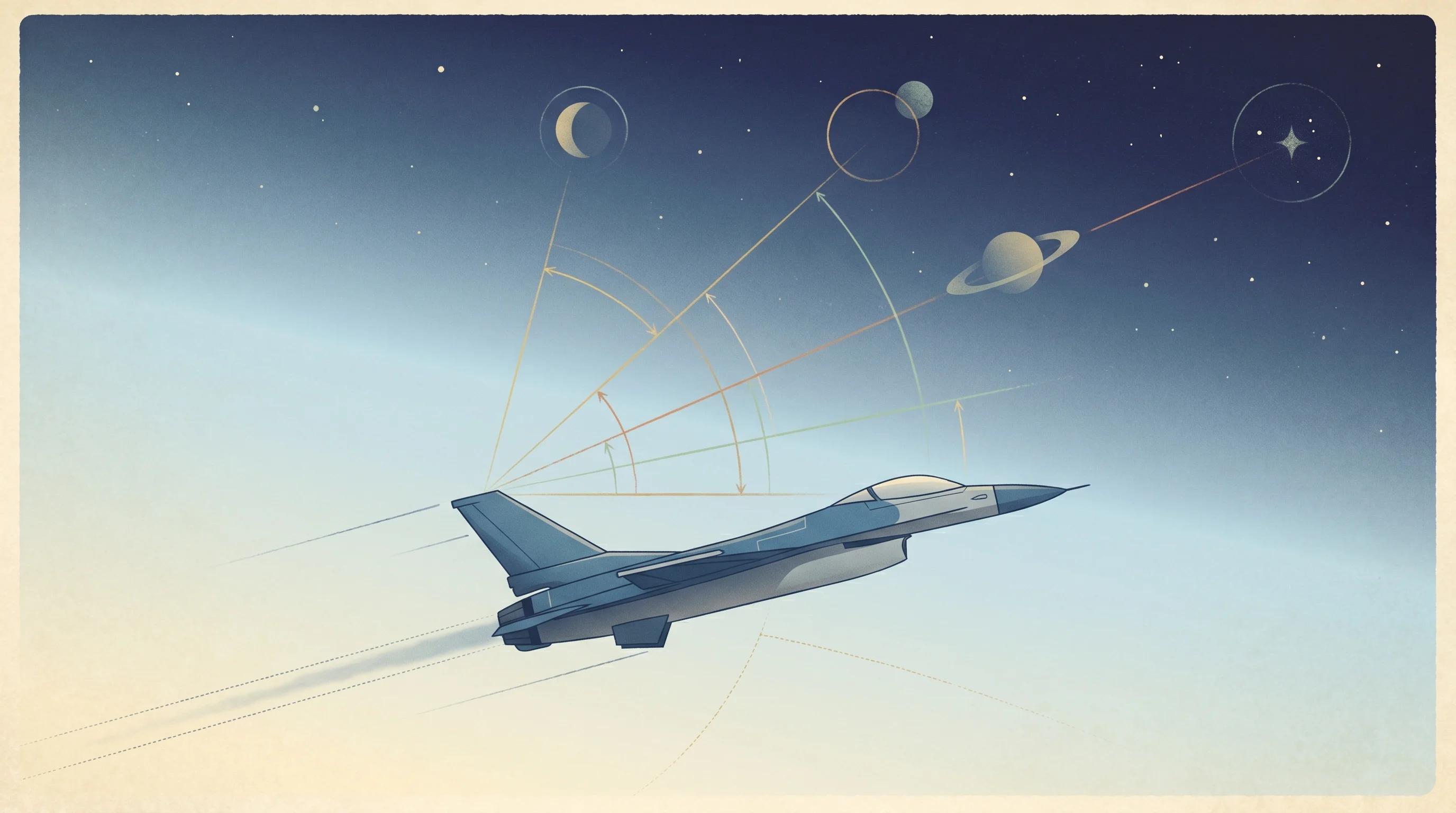
The core technology isn't new. NASA's deep-space probes have used optical navigation for years, measuring angles to known objects to calculate position billions of miles from Earth. Rhea's engineering challenge was adapting that approach for vehicles moving fast and low—fighter jets banking through valleys, drones loitering over hostile terrain, ships navigating contested waters.
The hardware takes two forms. The Jervis Autonomy Module (JAM) pairs a data processing unit (1.2 kg) with a camera (0.8 kg), drawing between 5 and 20 watts. SPARROW Gen II, a bolt-on module for air, land, and sea platforms, claims 50-meter accuracy in stationary or low-speed conditions, degrading to 250 meters on high-speed aerial platforms—still usable for many military applications where "close enough" beats "completely lost."
The company also markets QLOAK, a quantum key distribution kit for laser communications designed to resist "harvest now, decrypt later" attacks, where adversaries capture encrypted data and wait for quantum computers powerful enough to crack it.
Allied Expansion and Government Contracts

With the fresh capital, Rhea plans to expand deployment across AUKUS, Five Eyes, and NATO military customers. The company operates subsidiaries in the United Kingdom (incorporated February 2023) and Australia (launched September 2024), a footprint that positions it for deeper engagement with allied defense ministries increasingly wary of single-point GPS failures.
The company has already notched government wins. In early January 2026, SpaceWERX awarded Rhea a $1.9 million Direct-to-Phase II SBIR contract to enhance AutoNav for autonomous rendezvous and proximity operations—space jargon for vehicles meeting and maneuvering near each other without ground control. Weeks later, on March 31, the company flew a hypersonic test payload aboard Varda Space Industries' W-6 mission, collecting imagery during reentry to validate AutoNav under extreme conditions.
Earlier, in March 2024, NASA granted Rhea $750,000 through its TechFlights program to fly two JAM units in lunar orbit on a Draper-led mission tied to the Commercial Lunar Payload Services program. That same month, ispace technologies U.S. signed a payload services agreement for its Mission 3, expected sometime in 2026.
The Hiring Sprint and What Comes Next
Usman now leads a team estimated between 10 and 50 employees spread across three countries—small by defense contractor standards, but growing. The Series A will fund an aggressive hiring push, along with production scaling, supply-chain hardening, and additional validation work.
Whether Rhea can carve out a sustainable niche in the crowded defense-tech landscape remains an open question. The company faces competition from other positioning, navigation, and timing (PNT) startups, legacy defense primes with decades of Pentagon relationships, and internal military research labs exploring similar concepts. GPS jamming, for all its operational headaches, remains episodic rather than universal. And optical navigation, while elegant, imposes constraints—cloud cover, for instance, can obscure the sky.
Still, the strategic logic is hard to dismiss. As long as adversaries can jam radio frequencies at scale, militaries will need alternatives. Rhea is betting that the oldest navigation method—celestial wayfinding—might yet prove the newest solution to a very modern problem.
For a company that looks to the stars for guidance, the path ahead is anything but written in the heavens.


