

The images came through even when they shouldn't have.
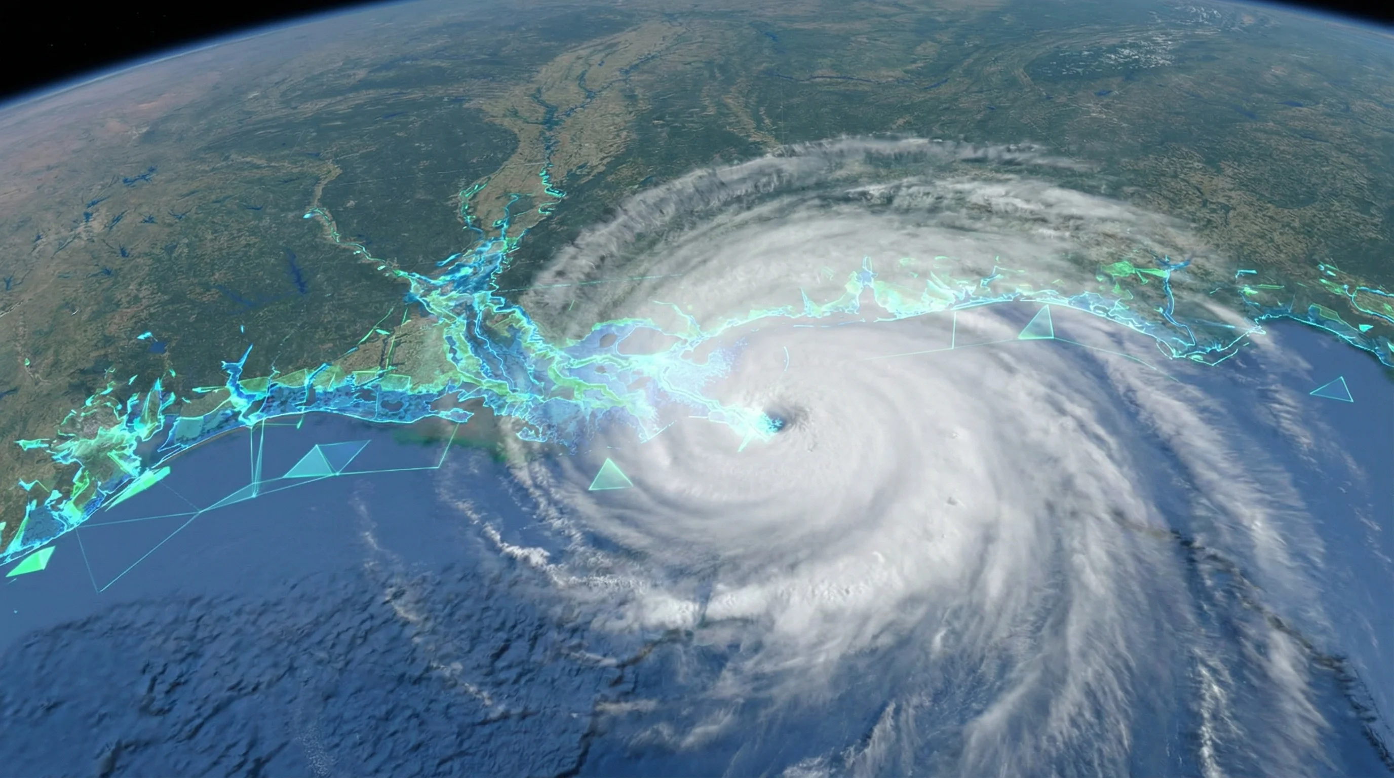
Last September, as Hurricane Helene bore down on Florida's Gulf Coast, thick cloud cover turned traditional satellite cameras into expensive paperweights. But NASA's synthetic aperture radar cut straight through the storm, mapping flooded neighborhoods across the Southeast while optical satellites captured nothing but gray. Weeks later, when Hurricane Milton carved its own path of destruction, the same technology delivered flood maps to emergency responders who couldn't afford to wait for skies to clear.
It's easy to dismiss this as just another incremental improvement in disaster response. It's not. What happened during those two hurricanes represents something more fundamental: the erosion of a constraint that has limited Earth observation since the first weather satellites went up. For the first time, the cloud cover problem—the fact that roughly 67 percent of Earth sits under clouds at any given moment, according to NASA—is becoming manageable. Not through better optics or lucky timing, but through AI models that have learned to fuse radar, thermal, and optical data into a coherent picture regardless of what the weather is doing.
The technology underpinning this shift has quietly moved from research labs into operational use. And it's unlocking what analysts at Gartner estimate as a $20 billion revenue opportunity stretching through 2030, driven not just by government contracts but by private companies that suddenly have reason to care what their supply chains look like from space.
The Old Problem Hasn't Changed. The Solutions Have.
Commercial Earth observation pulled in about $5 billion in revenue last year, according to research from Euroconsult and Novaspace. By 2033, that figure should exceed $8 billion, with the services segment alone growing from $3.1 billion to $4.9 billion. Gartner's analysts see something more striking on the horizon: private enterprise spending on "Earth intelligence" overtaking government and military procurement by decade's end. If that happens, it would mark a historic reversal in who drives demand for satellite data.
Yet all this growth is bumping up against physics.
Optical sensors—the kind that take photographs you'd recognize—need clear skies and sunlight. They always have. Synthetic aperture radar solved part of this problem decades ago by bouncing microwave pulses off the ground, penetrating clouds and working at night. But SAR imagery looks nothing like a photograph. The backscatter signals encode surface roughness, moisture content, and geometry in patterns that require specialists to interpret. A flooded street and a dry one might look nearly identical to someone without training.
The breakthrough isn't better radar. It's teaching machines to translate what radar sees into something humans—and other algorithms—can actually use.
Foundation models, the same class of AI that powers language translation and image generation, have gotten good at learning the relationships between different types of sensor data. Feed them enough examples of what the same landscape looks like in radar versus optical wavelengths, and they start to bridge the gap. Some can now generate plausible optical-like imagery from SAR data alone. Others skip the visual translation entirely, producing direct environmental measurements—soil moisture, surface temperature, biomass—without waiting for a clear day.
From Research to Orbit
NASA and IBM released something called Prithvi on Hugging Face back in 2023, a geospatial foundation model trained on millions of satellite images. The expanded version, Prithvi-EO 2.0, chewed through 4.2 million samples from Landsat and Sentinel missions spanning 2015 to 2024. It outperformed earlier models on standardized tests for flood detection, burn scar mapping, and crop classification.
But the real action is in multimodal fusion—systems that don't just process optical or SAR data, but combine both along with thermal infrared and whatever metadata is available. Research teams have published models with names like TerraFM and THOR that unify data from multiple Sentinel satellites. THOR introduced something called compute-adaptive inference, which adjusts processing intensity based on available resources. Another model, FlexiMo, handles arbitrary input resolutions without choking.
The European Space Agency and NASA co-hosted workshops in Frascati, Italy this year specifically to coordinate how foundation models for Earth observation should develop. ESA's Φ-lab is running multiple research tracks, including EVE, which functions something like a large language model but for Earth observation queries.
Perhaps the most telling experiment happened aboard the International Space Station. A payload called IMAGIN-e ran a compact geospatial foundation model in flight, proving edge AI inference works in the resource-constrained environment of orbit. This matters more than it might seem. Downlink bandwidth costs money and introduces latency. If satellites can filter cloudy data or run preliminary analytics onboard, they transmit only what matters.
The SAR-to-optical translation work shows both promise and risk. Diffusion models and flow-matching approaches can generate RGB-like imagery from radar data with improved structural accuracy. One recent study reported better segmentation results when fusing SAR and optical inputs versus relying on either alone.
But researchers keep emphasizing a crucial point: generating plausible-looking imagery that doesn't match ground truth is worse than no image at all in operational settings. You need uncertainty quantification—a way for the model to flag when it's guessing rather than knowing.
AxionOrbital Space, which went through Y Combinator's Winter 2026 batch, claims its Orion model achieves competitive performance on SAR-to-optical benchmarks using deterministic one-step diffusion. The company is pitching defense and disaster response customers. Meanwhile, a robustness study called REOBench found that foundation models experienced performance drops exceeding 20 percent when faced with real-world corruptions like atmospheric haze or sensor noise.
Reliability, in other words, remains a live question. Not a solved one.
Disaster Response, Around the Clock
The applications have moved well beyond lab demonstrations.
During last year's hurricane season, NASA's OPERA program deployed Dynamic Surface Water Extent maps derived from Sentinel-1 SAR specifically because optical satellites couldn't penetrate storm clouds. The DSWx-S1 product tracked flooding in near real-time when traditional imagery would have left responders flying blind. Similar rapid mapping supported response efforts after storm surges hit Alaska's Yukon-Kuskokwim region and flooding struck parts of Texas.
Wildfires demand 24/7 monitoring for different reasons. Fires don't care what time it is, and smoke obscures optical satellites as effectively as clouds do.
OroraTech operates a dedicated thermal satellite constellation that detects fires day and night, weather be damned. The German startup launched FOREST-3 with SpaceX and is building out an eight-satellite constellation with Spire. Colombia adopted OroraTech's system nationally for wildfire alerts. Greece made public investments in the technology. Thermal infrared measures heat signatures directly—no sunlight required, no clear skies needed. When fires intensify overnight, OroraTech's satellites catch it.
HawkEye 360 built an entirely different sensing paradigm around radio frequency detection. Its constellation intercepts maritime transmissions and GNSS signals, identifying vessels that turn off their AIS transponders to evade monitoring—so-called "dark vessels." The U.S. Navy renewed HawkEye's contract for illegal fishing and maritime domain awareness in 2025. The company recently launched advanced GNSS interference detection for defense and intelligence customers. One historical use case involved tracking Chinese fishing fleets near the Galápagos when optical satellites saw nothing but ocean.
BlackSky wove SAR and nighttime infrared data into its Spectra AI platform, delivering site monitoring and event alerts around the clock. The company commissioned its Gen-3 constellation in March and was delivering AI-enabled analytics from 35-centimeter imagery within three weeks of launch.
Planet markets something called Planetary Variables—model-derived measurements of soil water content, land surface temperature, and biomass that bypass traditional imagery constraints entirely. The company describes it as "cloud-free and darkness proof." Which is another way of saying they've stopped selling pictures and started selling answers.
Follow the Money
Government procurement is writing this story's first chapter in large print.
The National Reconnaissance Office—the intelligence agency responsible for U.S. spy satellites—awarded 10-year electro-optical contracts back in 2022. Maxar got up to $3.24 billion. BlackSky received up to $1.02 billion. Planet landed an undisclosed amount. Those EOCL awards signal sustained federal appetite for commercial imagery, and they're not the only contracts in play. The NRO's Strategic Commercial Enhancements program extended into SAR and radio frequency capabilities, with Umbra selected for Stage III options in 2024.
NOAA accelerated commercial SAR deployment last year by removing restrictive conditions from X-band licenses that had limited resolution and coverage. The regulatory unlock let companies like Umbra offer 16-centimeter SAR imagery commercially—resolution that would have been restricted just a few years ago.
ICEYE, a Finnish company operating the largest commercial SAR fleet, is reportedly considering new funding at a $2.5 billion valuation. European defense demand is surging. The company says its Gen4 satellites achieve up to 16-centimeter resolution. Capella Space launched Acadia satellites with ground range resolution approaching 0.31 meters. Italy's COSMO-SkyMed Second Generation advertises spotlight modes down to 0.3 to 0.5 meters.
The defense angle is obvious, but regulatory drivers beyond national security are building commercial pull.
The EU Deforestation Regulation requires geolocation polygons and deforestation verification for products entering European markets. Compliance deadlines for large operators hit December 30, 2026. Satellite monitoring sits at the center of that framework. The SEC's U.S. climate disclosure rule was stayed and the Commission voted this year to end its legal defense, but EU and California requirements remain. Many corporations are continuing environmental risk monitoring investments regardless of what federal regulators decide.
ICEYE's CEO, Rafał Modrzewski, told audiences at Davos that all-weather SAR is a "game-changer" for parametric insurance, enabling hazard assessment before, during, and after events when optical satellites are useless. The World Economic Forum estimates Earth observation could drive more than $3 trillion in cumulative economic benefits by 2030 and enable up to 2 gigatons of annual CO₂ abatement.
Those numbers are big enough to be meaningless. What matters more is where specific dollars are flowing.
What Comes Next
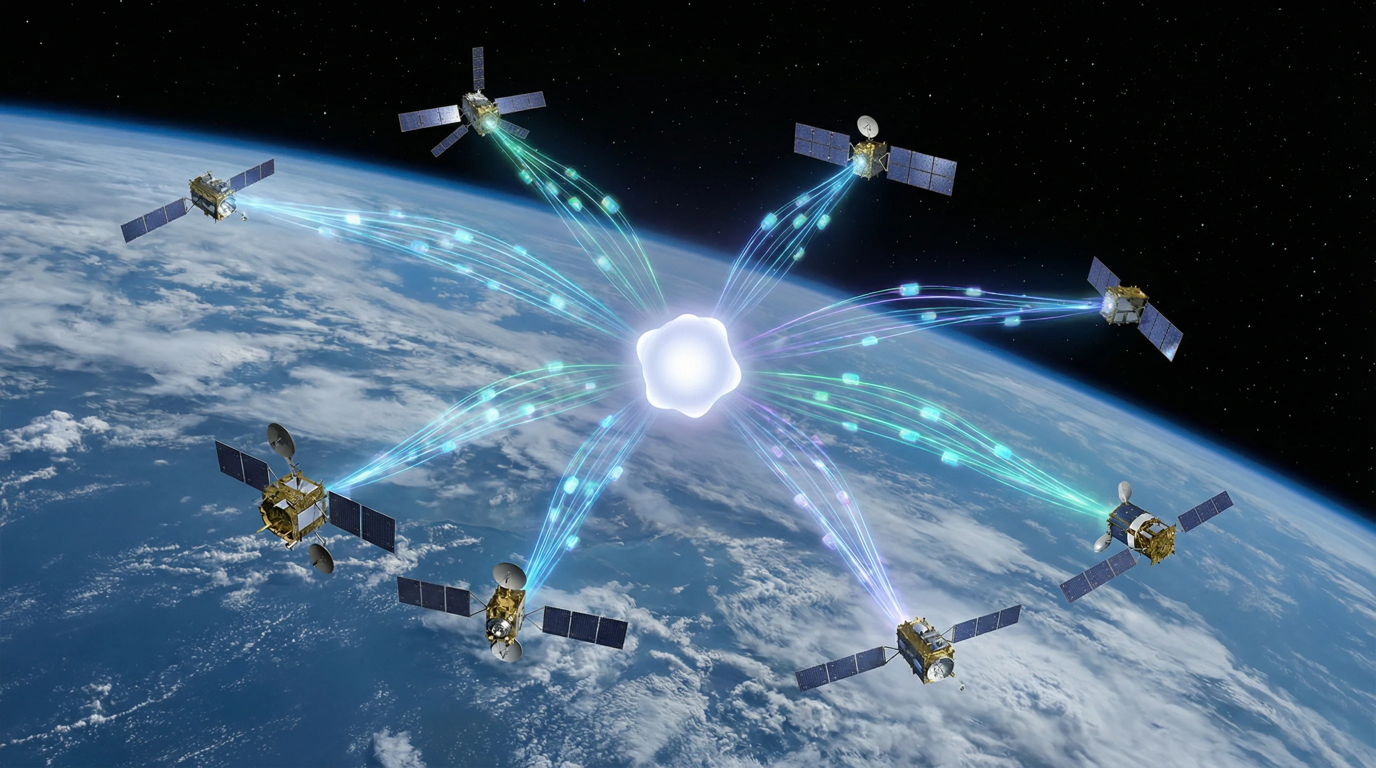
The shift from selling pixels to selling intelligence is accelerating, maybe faster than the industry expected.
Foundation models are moving from academic curiosity to operational deployment, standardized around benchmarks like GEO-Bench, REOBench, and SARLANG-1M. Multimodal architectures that unify radar, optical, thermal, and metadata are replacing single-sensor approaches. Edge AI demonstrated on the International Space Station points toward applications where satellites process imagery in orbit rather than waiting for ground station passes.
But scaling this up will require solving for robustness and trust—not just performance on clean test data.
Those REOBench results showing 20 percent performance degradation under real-world perturbations aren't academic footnotes. They're operational risks. SAR-to-optical translation research increasingly emphasizes confidence modeling and uncertainty quantification precisely because a foundation model that generates plausible-looking imagery that doesn't match reality can drive catastrophically bad decisions. The difference between a system that flags low-confidence outputs and one that confidently hallucinates features is the difference between useful and dangerous.
The EUDR compliance timelines and sovereign constellation buildouts in Europe, Asia, and the Middle East suggest expanding contracts for 24/7 monitoring and multi-sensor fusion. Companies offering integrated analytics—not just raw imagery—are positioning themselves for the shift Gartner forecasts toward private enterprise dominance. BlackSky talks about "AI-derived real-time intelligence in minutes." Planet pitches globally consistent, model-derived variables.
The currency isn't pixels anymore. It's answers delivered regardless of clouds or darkness.
The most telling signal might be where capital is flowing. ICEYE at a potential $2.5 billion valuation. NRO contracts stretching a decade. Foundation model research institutionalized through ESA and NASA workshops. The technology stack enabling continuous Earth monitoring barely existed five years ago. Now it's operational, proven in hurricanes and wildfires and maritime interdictions, backed by billions in government contracts and regulatory mandates that aren't disappearing.
The cloud cover problem hasn't changed—67 percent of Earth still sits under clouds at any given moment. What changed is our ability to see through them, around them, past them. Foundation models turning radar echoes into intelligence, thermal signatures into wildfire alerts, RF emissions into dark vessel tracks aren't future technology. They're shipping products with government customers and commercial traction.
That $20 billion opportunity Gartner mapped isn't speculative. It's being built right now, satellite by satellite, model by model, contract by contract.


