

Two-thirds of the planet, obscured. That's the fraction of Earth sitting under cloud cover at any given moment, according to NASA's climate models—a statistic that has bedeviled satellite imaging since the first optical sensors went up. For decades, the calculus was simple and frustrating: If you wanted to see what was happening on the ground—track a flood, assess crop yields, monitor a military installation—you waited. Waited for clear skies. Waited for daylight. The limitations were baked in.
Not anymore.
A confluence of technologies is rewriting that equation. Synthetic aperture radar satellites, which fire microwave pulses through clouds and darkness, have proliferated. Meanwhile, artificial intelligence models trained on millions of satellite images are learning to translate radar's cryptic grayscale returns into the crisp, intuitive visuals analysts prefer. The result: Earth observation is edging toward something it's never truly had—continuous, all-weather surveillance.
The blind spots, in other words, are closing. Whether that's a breakthrough or something more unsettling depends on who's watching, and why.
A Market Finds Its Footing
The commercial SAR industry has moved from niche curiosity to serious infrastructure in just a few years. Take ICEYE, the Finnish operator that by 2025 had lofted more than 50 satellites into orbit—a constellation that dwarfs what any nation outside the superpowers fielded a decade ago. In 2024 alone, ICEYE pulled in $158 million across two funding rounds: $93 million in April, another $65 million by December. By last October, the Financial Times reported the company was exploring fresh capital at a valuation approaching $2.5 billion. ICEYE's stated ambition? Scale production from roughly 25 satellites a year to somewhere between 100 and 150.
Then there's Capella Space, whose Acadia-class satellites can resolve details smaller than a foot across—sub-0.31 meters, to be precise. IonQ, the quantum computing outfit, announced its agreement to acquire Capella in May 2025; the deal closed on July 15 and folded the satellite operator into a broader vision of quantum-secure communications. Capella's 17th satellite launched that same month.
Umbra, another US player, made waves in August 2023 when it released a commercial SAR image with 16-centimeter resolution—the sharpest on record after NOAA lifted temporary X-band restrictions. By December 2024, Umbra had advanced to Stage III of the National Reconnaissance Office's commercial solutions program. All three companies—ICEYE, Capella, Umbra—secured extended NRO contracts running through at least January 2027, announced late last year.
Government missions are accelerating too, though on a different scale. NASA and India's space agency launched NISAR on July 30, 2025. The satellite entered science operations last November and is expected to hit full stride by early this year. NISAR's dual L-band and S-band radars will map the planet's land and ice every 12 days, measuring ground deformation down to the centimeter. Clouds? Irrelevant. Nighttime? Doesn't matter.
Why Now?
Several forces are converging, and not by accident.
First, there's simply more data. The European Union's Copernicus program added Sentinel-1C to its fleet in late 2025, tightening revisit times for flood mapping. NISAR's output will be openly accessible. Commercial constellations are densifying. The supply bottleneck, once a genuine constraint, has eased.
Second, procurement patterns are shifting. The NRO's December 2025 contract extensions signal a move toward sustained commercial partnerships rather than one-off purchases. NASA's Commercial Smallsat Data Acquisition program awarded contracts to ICEYE in September 2024 and Capella back in June 2023. Over in Europe, there's talk of a €1 billion dual-use Earth observation network with onboard AI and military-grade capabilities—part of a broader "sovereign sensing" push as geopolitical tensions tighten.
Third—and perhaps most critical—AI foundation models trained on Earth observation data are becoming infrastructure. NASA's Goddard Space Flight Center released SatVision-TOA in late 2024, a 3-billion-parameter model trained on 100 million MODIS images, including cloudy and nighttime conditions. IBM and NASA published the Prithvi family of open models on Hugging Face throughout 2024 and 2025, covering geospatial and weather data. Academic labs followed: TerraFM arrived in June 2025, unifying Sentinel-1 SAR with Sentinel-2 optical imagery. Copernicus-FM came three months earlier, spanning multiple sensor types.
The pattern is clear. These models learn by training on SAR and optical data simultaneously, a technique called cross-modal learning. It turns out that teaching an AI to see in both radar and visible light makes it better at both.
Which brings us to the most direct application: SAR-to-optical translation. Between 2024 and 2026, researchers moved from generative adversarial networks to diffusion models and hybrid architectures. Progress accelerated as datasets improved. The SOMA-1M dataset, released in February 2026, contains 1.3 million paired SAR-optical image chips from Sentinel-1, Capella, PIESAT-1, and Google Earth, with resolutions ranging from half a meter to 10 meters. Older datasets like MSAW—released with SpaceNet-6 in 2020—provided early benchmarks but lacked scale and diversity.
Into this landscape steps a San Francisco startup called AxionOrbital Space, founded in 2025 and part of Y Combinator's Winter 2026 cohort. The company is building foundation models specifically for 24/7 Earth observation, translating radar imagery into optical-style visuals. CEO Dhenenjay Yadav, a former ISRO machine learning engineer, and CTO Atharva Peshkar, who earned his PhD in computer science from CU Boulder, describe their Orion model as using "deterministic one-step diffusion."
According to the company, Orion achieves an FID score of 30.24 and an SSIM of 0.60 on the MSAW benchmark, with latency around 0.06 seconds. They claim deployment flexibility—API, on-premises, or edge environments. Target customers include defense and intelligence agencies, finance firms tracking commodities, and disaster response teams.
Worth noting: those metrics are self-reported as of early this year. Independent validation hasn't surfaced yet.
When the Clouds Don't Matter
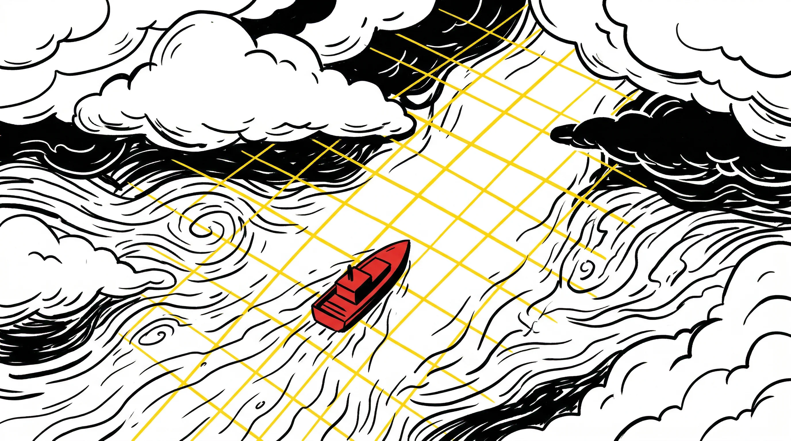
The operational payoff shows up fastest in disaster response, where waiting for clear skies can mean the difference between saving lives and counting bodies.
Copernicus Emergency Management Service activated its Rapid Mapping system multiple times in 2025. That September, following heavy rains in Milan, the service deployed a new tool called EXFLOS to map urban flooding. Sentinel-1 SAR data delivered cloud-robust flood extents within hours. Copernicus Global Flood Monitoring, which integrated Sentinel-1C data last October, now provides real-time coverage worldwide. UNOSAT used SAR to map floods in Pakistan in September and Texas in July, generating exposure estimates even when optical satellites saw nothing but storm clouds.
NASA's Disasters Program developed HydroSAR, a tool for mapping US floods using Sentinel-1 data, showcased in an April 2025 case study. At the American Geophysical Union meeting last December, researchers from NASA and a UMBC-UCLA team demonstrated rapid landslide detection using ICEYE imagery. The all-weather, day-night capability means responders aren't sitting idle, waiting for skies to clear before assessing damage.
Finance has carved out its own niche. SAR's ability to monitor commodity infrastructure around the clock matters when millions of dollars hinge on inventory estimates. Kayrros, a French analytics firm, uses Sentinel-1 to track global oil storage by monitoring tank roof heights—a proxy for inventory changes at refineries and storage hubs. Ursa Space, which partnered with ICEYE in 2018 and integrated with Google Cloud in 2022, offers similar services. These aren't speculative use cases; traders pay for the data because it provides an edge when clouds obscure key facilities.
Defense applications are harder to quantify—intelligence agencies don't typically share success stories. But procurement signals tell the story. Capella's CEO told SpaceNews in March 2024 that international demand for sovereign SAR systems was surging. ICEYE's chief executive said last September that the war in Ukraine had catalyzed global interest in all-weather reconnaissance. The NRO's contract extensions underscore sustained government investment.
What Comes Next
Several trajectories seem probable, though predicting technology markets is always hazardous.
The foundation model ecosystem will likely keep maturing. NASA and ESA held a joint workshop on AI foundation models for Earth observation in early 2025, emphasizing benchmarking, multimodal data integration, and private-sector collaboration. Open model releases from IBM/NASA and academic groups lower entry barriers for startups and enterprises. Datasets are growing larger and more diverse, which should improve model generalization—assuming the models don't simply memorize patterns.
On-orbit AI processing will reduce latency. Planet launched its Pelican-2 satellite in January 2025 with an NVIDIA Jetson processor onboard for real-time inference. The 40-centimeter-class optical satellite can run models before downlinking results. Similar approaches will probably appear in SAR constellations, especially for time-sensitive applications like maritime surveillance or disaster triage.
Platform consolidation may continue—IonQ's Capella acquisition hints that satellite data providers are valuable as infrastructure, not just imagery vendors. SkyWatch added SAR tasking from Umbra and Capella in January 2025, aggregating sensors under a single API. Microsoft's Planetary Computer Pro entered public preview last May with data cube functionality. Google Earth Engine expanded Vertex AI integration in 2024 and added Earth AI features with Gemini in October 2025. These platforms treat Earth observation data—optical, SAR, hyperspectral—as a unified substrate for AI.
Gartner projected last July that "Earth intelligence" revenue, driven by AI applied to satellite data, would exceed $4.2 billion by 2030, with cumulative opportunity approaching $20 billion through the decade. The firm expects enterprise spending to overtake government and military by 2030, exceeding 50%. That shift reflects falling costs, easier access via cloud platforms, and clearer ROI in agriculture, insurance, finance, and supply chain management.
Regulatory environments are adapting, if slowly. NOAA's 2020 licensing overhaul created a tiered system and removed most temporary restrictions by July 2023, enabling release of sub-25-centimeter SAR imagery. The FCC's five-year deorbit rule, effective for satellites launched after September 2024, affects lifecycle planning but hasn't slowed deployments. Europe's push for strategic autonomy in Earth observation—exemplified by ESA's €1 billion funding request in mid-2025—suggests governments will keep investing in dual-use systems with onboard AI.
The Constraint That's Fading
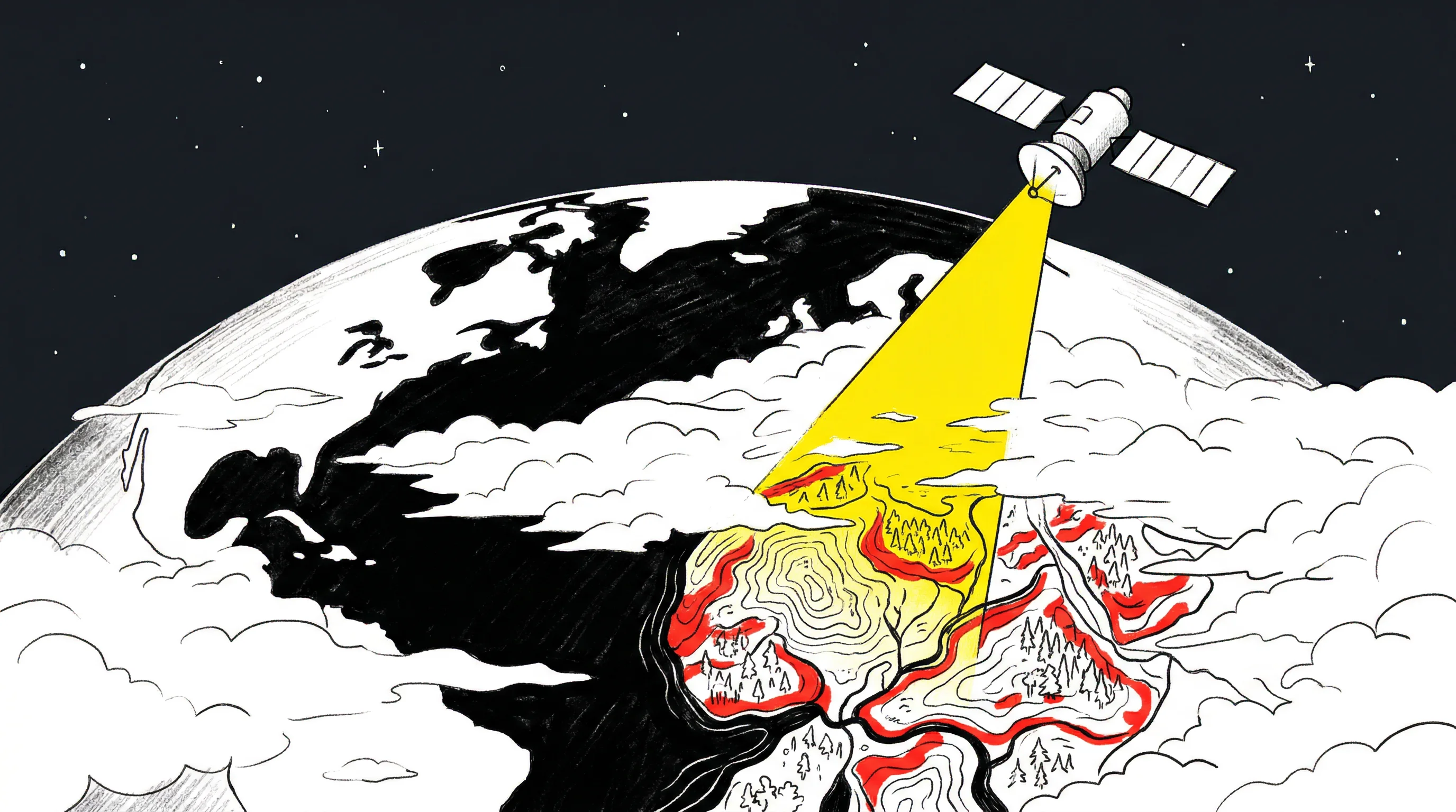
The core limitation that defined Earth observation for decades—waiting for clear skies—is dissolving. SAR satellites provide the raw data. Foundation models translate it into interpretable products. The combination delivers continuous monitoring.
It's not perfect. Model accuracy varies by terrain type. Image quality depends on resolution and revisit frequency. Integration into operational workflows takes time—bureaucracies move slower than algorithms. But the trajectory is unmistakable.
The question is no longer whether 24/7 Earth observation is possible. It's how fast the industry scales it, and who gets to decide what gets watched. Because once the clouds stop being an obstacle, the planet becomes a lot smaller. And for some, a lot less private.


