

The math has always been brutal for Earth observation: at any given moment, clouds obscure roughly 70 percent of the planet's surface. Traditional imaging satellites, no matter how sophisticated their optics, become multimillion-dollar paperweights the instant weather rolls in. Add nighttime to the equation, and the coverage gaps compound into something that's haunted the industry for decades—a persistent inability to see when it matters most.
A wildfire doesn't pause its overnight advance because satellites need sunlight. Floodwaters don't wait for skies to clear before reaching their catastrophic peak. Ships don't stop moving through storms just because optical sensors have gone blind.
For years, the space industry treated these limitations as immutable facts of orbital physics. But that's changing. A convergence of synthetic aperture radar technology, thermal imaging, and artificial intelligence foundation models is dismantling constraints that once seemed fundamental. What emerges isn't incremental progress—it's a wholesale reimagining of what continuous planetary monitoring might accomplish.
A Market Finally Ready to Pay for Persistence
The commercial Earth observation market clocked in around $5 billion in 2024, by Novaspace's accounting. Projections point toward $8 billion or more by 2033, driven partly by defense budgets but increasingly by commercial appetite. Insurance carriers, agricultural conglomerates, disaster response agencies—they're discovering that data disappearing during bad weather isn't just inconvenient. It's existential to their operations.
Optical satellites still dominate. High-resolution imagery that looks like actual photographs remains intuitive, easy to interpret, requiring minimal training to extract value. Yet that 70 percent downtime figure casts a long shadow over every operational planning session. Ocean coverage suffers even worse; cloud density over water often exceeds land, creating vast maritime blind spots. For time-sensitive work—tracking illegal fishing vessels, assessing disaster damage, monitoring crop stress—these gaps aren't merely frustrating.
They're dangerous.
The industry has understood this problem forever, of course. What's different now? Alternative sensing modalities have matured enough to be operationally viable, and AI is making them accessible to users who previously couldn't parse the data.
Radar That Sees Through Anything
Synthetic aperture radar satellites don't care about clouds. They don't particularly care about darkness, either. SAR systems generate their own microwave pulses and measure the returns, creating images that penetrate smoke, rain, storm systems—even the planet's own shadow. Commercial operators like Finland's ICEYE, California-based Capella Space, and Colorado's Umbra have built entire constellations around this capability, pitching themselves explicitly on persistent monitoring.
The underlying technology isn't revolutionary. Spaceborne SAR dates back decades. What's changed is the combination of smaller satellites, faster revisit times, and regulatory environments that finally allow higher resolutions. In August 2023, NOAA eliminated restrictive temporary licensing conditions on commercial SAR operations in the United States—a bureaucratic shift that might sound minor but opened the floodgates. Umbra's Gabe Dominocielo seized the opportunity to demonstrate 16-centimeter resolution imagery, the sharpest commercially available anywhere. The company markets this capability aggressively: imagery "capable of capturing" details that were previously reserved for classified government systems.
Europe's Copernicus program, meanwhile, continues flooding the market with free Sentinel-1 data. Sentinel-1C began opening its feeds to users in March 2025. Sentinel-1D launched November 4, 2025, restoring a six-day revisit cycle over the entire planet. That public infrastructure has proven foundational for training AI models—a feedback loop where open government data accelerates private-sector innovation, which in turn creates demand for more sophisticated public missions.
Thermal satellites add yet another layer. Companies like Germany's constellr, which launched its first satellite in early 2025, provide land surface temperature data at 30-meter native resolution, computationally sharpened to 10 meters. Thermal imaging works through many cloud conditions and reveals information optical sensors miss entirely: soil moisture stress before crops visibly wilt, industrial heat signatures indicating operational status, wildfire perimeters through dense smoke.
But here's the catch that's plagued radar and thermal data for years: interpretation. SAR images arrive noisy, speckled, resembling television static more than recognizable terrain. They certainly don't look like anything most humans instinctively understand. Thermal maps demand domain expertise to extract meaning. These limitations confined adoption to specialist communities—military analysts, academic researchers, petroleum geologists—people with training budgets and patience.
Foundation models are dismantling that barrier.
When AI Learns to Read the Weather
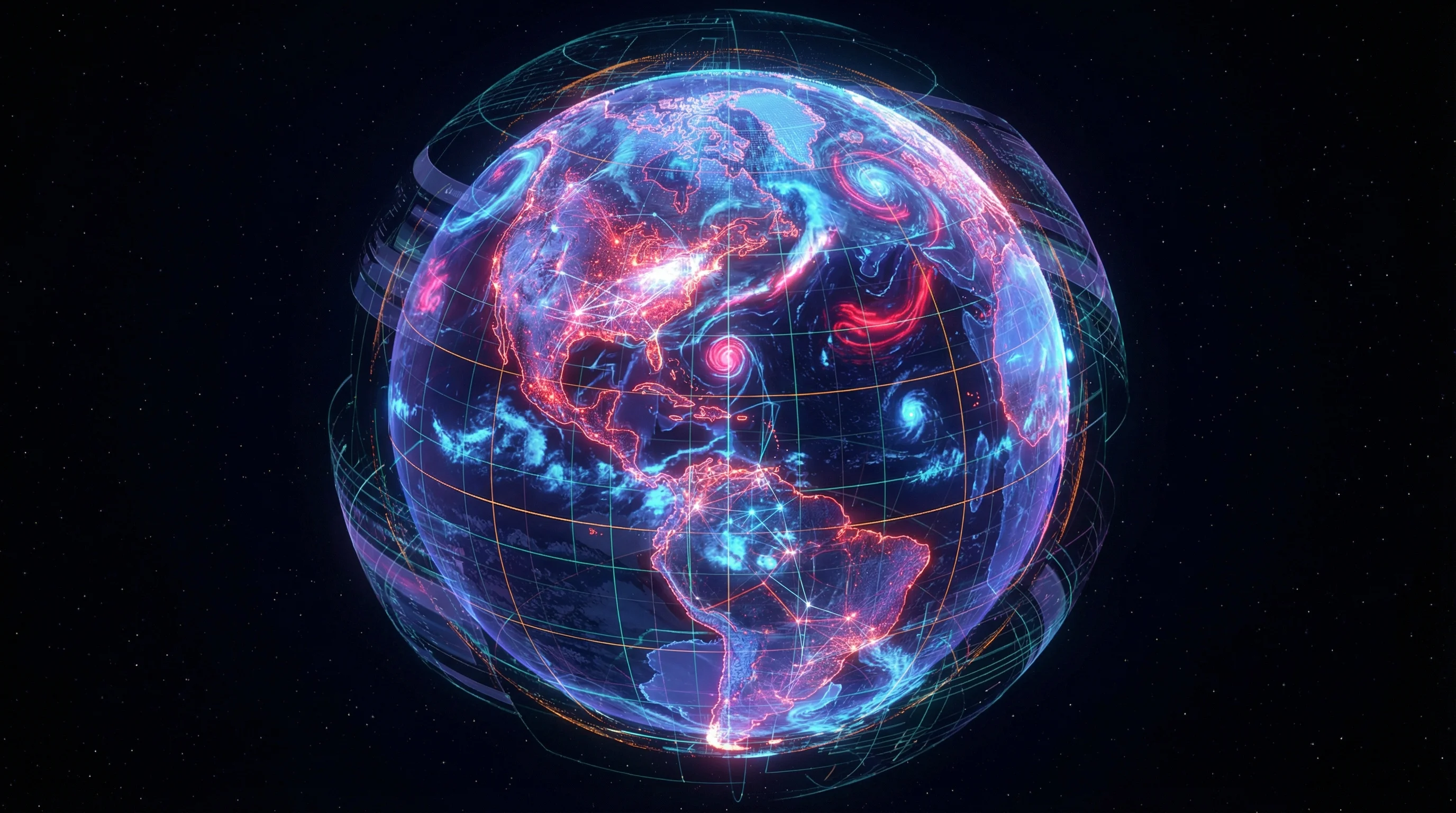
IBM and NASA released Prithvi, an open geospatial foundation model, in August 2023. By 2025, they'd expanded it to Prithvi-EO-2.0—600 million parameters trained on 4.2 million Harmonized Landsat Sentinel samples. Paolo Fraccaro from IBM Research described how the updated architecture can "better capture long-term processes season-by-season" while assimilating high-resolution information across sensing modalities.
The proof arrived in Valencia, Spain. When floods devastated the region on October 29, 2024, Prithvi-EO-2.0 demonstrated its operational value. Researchers fused Sentinel-1 radar data with Sentinel-2 optical imagery to map inundation beneath heavy cloud cover—something that would've been flatly impossible relying on optical sensors alone. Similar techniques got applied to the Derna, Libya floods, using SAR intensity and coherence data. Findings landed in Nature Communications, lending academic credibility to what had been largely a commercial pitch.
Other multi-modal foundation models are proliferating. SkySense, presented at CVPR 2024, targets universal interpretation across optical and SAR. SARCLIP marries SAR imagery with large language models to improve semantic understanding of radar data—teaching machines to answer questions like "show me vessels near port facilities" without human analysts manually filtering thousands of radar returns. TerraFM, released in 2025, extends these capabilities across temporal sequences, tracking changes over weeks or months.
These models don't eliminate domain expertise entirely. Perhaps nothing could. But they dramatically lower the entry barrier. Fine-tuning a foundation model for a specific task—flood detection, crop classification, vessel tracking—requires far less labeled training data than building models from scratch. Benchmarks like GEO-Bench and PhilEO, released in 2023 and 2024 respectively, provide standardized testing grounds for evaluating performance, though real-world messiness inevitably exceeds laboratory conditions.
Robustness remains a concern. REOBench, released in 2025, revealed that many foundation models degrade significantly under real-world corruptions: sensor noise, atmospheric interference, unexpected lighting conditions. Operational reliability matters more than benchmark leaderboard positions. But the trajectory seems clear enough.
Money Following the Technology
Insurance providers have emerged among the earliest adopters of all-weather monitoring. ICEYE has assembled a product suite around SAR-based disaster assessment that's generating actual revenue, not just proof-of-concept contracts. Its Flood Insights service secured adoption from Aon globally, Juniper Re in a multi-year agreement, and Florida's Lee County Emergency Management, which renewed after Hurricanes Helene and Milton proved the system's value. CEO Rafał Modrzewski positioned SAR as a "game-changer" for parametric insurance—policies that pay out based on measured physical parameters rather than traditional claims adjustment. Imagery "can be taken regardless of weather," Modrzewski noted, "allowing decision-makers to understand the level of damage and full-scale impact at any time."
ICEYE's Hurricane Solution promises wind and flood impact assessments within 24 hours of a storm's passage. Its Wildfire Insights product, currently in beta, provides near-real-time building-level impact data through smoke that blinds optical systems. These aren't research projects anymore. They're revenue-generating services with committed enterprise customers writing checks.
Capella Space has focused heavily on maritime applications—vessel detection, classification, tracking in conditions where optical satellites offer nothing but black pixels. The company markets under a "No Cloudy Days" campaign and holds multiple contracts with the Department of Defense and National Reconnaissance Office. The NRO extended SAR procurement agreements with Capella, ICEYE US, and Umbra through 2026-2027 under its Stage III program, signaling sustained government demand even as commercial markets develop.
Agriculture remains a major use case, though adoption moves more slowly than Silicon Valley pitch decks might suggest. SAR time-series data can track crop development stages and soil moisture conditions regardless of weather—theoretically valuable for large-scale monitoring and insurance applications. The granularity isn't always at the per-plant level individual farmers might want. But for regional-scale assessment or parametric crop insurance, it's often sufficient.
Infrastructure monitoring leverages interferometric SAR to detect millimeter-scale ground deformation—early warning signals for landslides, subsidence around oil fields, structural stress on bridges and dams. After earthquakes or storms, SAR-based damage mapping provides situational awareness when optical satellites can't penetrate debris clouds and smoke. These capabilities matter for utilities, construction firms, emergency managers operating on tight timelines where delays cost lives.
What Comes Next (And What Might Not)
The commercial Earth observation market is entering a phase where all-weather monitoring shifts from specialized niche to baseline expectation. Novaspace's $8 billion projection by 2033 assumes AI automation and increased radar adoption will expand use cases beyond early adopters. That seems plausible given current trajectories, though market forecasts a decade out always carry uncertainty—technologies stall, regulations shift, competitors emerge from unexpected directions.
Supply-side dynamics support expansion. SAR constellations are densifying across the United States, Europe, and Japan. Copernicus Sentinel-1 continuity appears secure through at least decade's end. Thermal constellations are launching. The National Reconnaissance Office's shift toward a longer-term Commercial Solutions Opening vehicle—potentially spanning five years rather than annual contracts—provides demand visibility that venture-backed startups desperately need.
On the technology front, multi-modal foundation models will likely become table stakes. Training exclusively on optical data will start seeming quaint, like building websites optimized only for Internet Explorer. Models that ingest SAR, thermal, optical, and potentially radio frequency data will dominate, particularly for applications requiring robust performance under degraded conditions—which, given climate change and intensifying weather patterns, increasingly describes everything.
Edge computing will play a larger role. ESA's Φ-sat-1 demonstrated on-orbit cloud filtering to reduce downlink bottlenecks, discarding useless cloudy pixels before they consume bandwidth. As edge compute payloads grow more capable, satellites will pre-process imagery in space, triaging high-value data and conducting preliminary analysis before anything reaches ground stations. That reduces latency for time-sensitive applications and makes persistent monitoring more economically viable—fewer bits transmitted means lower operational costs.
The policy environment will continue evolving, though perhaps not uniformly. U.S. licensing reforms in 2020 and 2023 removed major barriers to high-resolution commercial SAR. Other nations face pressure to adapt their frameworks or watch their domestic industries lag behind American and European competitors. Europe's commitment to free and open Copernicus data has created a training-data advantage that's difficult to overstate. That policy stance seems unlikely to change absent some major geopolitical shift.
What remains genuinely uncertain is adoption speed at scale. Cultural inertia is real. Optical imagery remains intuitive; SAR decidedly is not. Foundation models help bridge that cognitive gap, but procurement cycles grind slowly and validation requirements are stringent—particularly in risk-averse sectors like agriculture or insurance, where algorithmic mistakes can cost millions. Disaster response agencies and insurers have become proving grounds because their pain points are acute, immediate, visible. Agriculture and environmental monitoring may require longer runway before widespread commercial deployment materializes.
The 70 percent downtime problem isn't fully solved yet. Clouds still obscure the planet's surface. Night still arrives on schedule. But for the first time, these limitations feel surmountable rather than fundamental. For climate monitoring, disaster response, and any application where timing matters more than perfect resolution, the question is shifting.
Not "can we see through clouds?"
But "how fast can we process what we're already seeing?"


